Marietta in Cobb County, Georgia — The American South (South Atlantic)
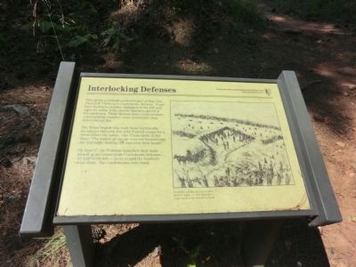
Interlocking Defenses
Kennesaw Mountain National Battlefield Park
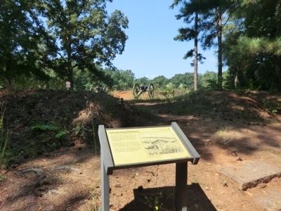
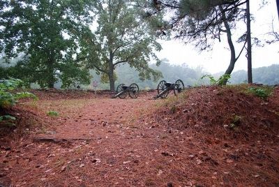
The Texas brigade that built these earthworks exchanged skirmish fire with Federal troops for a week before the battle. One Texan wrote in his diary, “The bullets go zip zip over our breastworks day and night, making the men bow their heads.”
On June 27, the Federals launched their main assault at the center of the Confederate defenses—½ mile to the left—to try to split the Southern army there. The Confederates were ready.
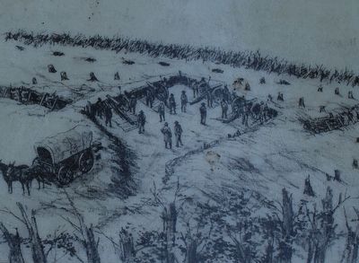
Caption:
Civil War earthworks were often built at angles so that defenders could shoot at an attacker’s flank.
Erected by National Park Service.
Topics. This historical marker is listed in this topic list: War, US Civil. A significant historical month for this entry is June 1848.
Location. 33° 56.637′ N, 84° 35.87′ W. Marker is in Marietta, Georgia, in Cobb County. Marker is on Cheatham Hill Drive SW, 0.1 miles Whitlock Avenue NW (Georgia Route 120), on the right when traveling south. Touch for map. Marker is in this post office area: Marietta GA 30064, United States of America. Touch for directions.
Other nearby markers. At least 8 other markers are within walking distance of this marker. Texas Memorial (approx. 0.2 miles away); A Humanitarian Act (approx. ¼ mile away); Cheatham Hill (approx. 0.4 miles away); Federal, Confederate Lines, June 22, 27, 1864. (approx. 0.4 miles away); They Who Fell Here (approx. half a mile away); Climax at Cheatham Hill (approx. half a mile away); Camouflaged Cannons (approx. half a mile away); Field Fortifications (approx. half a mile away). Touch for a list and map of all markers in Marietta.
Also see . . . Kennesaw Mountain National Battlefield Park. National Park Service (Submitted on November 9, 2013.)
Credits. This page was last revised on April 7, 2024. It was originally submitted on November 8, 2013, by Don Morfe of Baltimore, Maryland. This page has been viewed 758 times since then and 41 times this year. Photos: 1, 2. submitted on November 8, 2013, by Don Morfe of Baltimore, Maryland. 3, 4. submitted on August 19, 2015, by Brandon Fletcher of Chattanooga, Tennessee. • Bernard Fisher was the editor who published this page.


