Marion in Perry County, Alabama — The American South (East South Central)
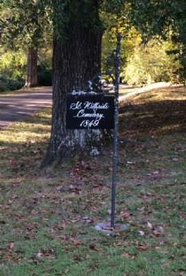
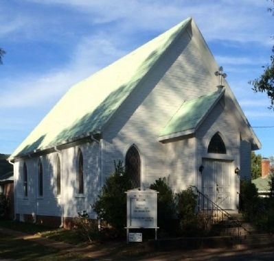
St. Wilfrid's Episcopal Cemetery
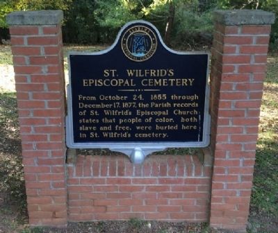
From October 24, 1855 through December 17, 1877, the Parish records of St. Wilfrid's Episcopal Church states that people of color, both slave and free, were buried here in St. Wilfrid's cemetery.
Erected by Alabama Historical Commission.
Topics and series. This historical marker is listed in these topic lists: African Americans • Cemeteries & Burial Sites. In addition, it is included in the Alabama Historical Commission series list. A significant historical month for this entry is October 1848.
Location. 32° 38.188′ N, 87° 19.15′ W. Marker is in Marion, Alabama, in Perry County. Marker can be reached from Clements Street, 0.1 miles east of Washington Street, on the left when traveling east. Touch for map. Marker is at or near this postal address: 104 Clements Street, Marion AL 36756, United States of America. Touch for directions.
Other nearby markers. At least 8 other markers are within walking distance of this marker. Confederate Rest (about 300 feet away, measured in a direct line); The Marion Female Seminary (approx. 0.2 miles away); In Memory of Albert Turner, Sr. (approx. 0.2 miles away); Honoring: Reverend James Orange (approx. 0.2 miles away); Muckle's Ridge (approx. ¼ mile away); Confederate 6-pounder Field Gun (approx. ¼ mile away); Perry County Veterans Memorial (approx. ¼ mile away); Nicola Marschall (approx. ¼ mile away). Touch for a list and map of all markers in Marion.
More about this marker. Marker is built into a brick foundation and is located on the cemetery loop road on the left side.
Credits. This page was last revised on June 16, 2016. It was originally submitted on November 8, 2013, by Mark Hilton of Montgomery, Alabama. This page has been viewed 647 times since then and 36 times this year. Photos: 1, 2, 3. submitted on November 8, 2013, by Mark Hilton of Montgomery, Alabama. • Bernard Fisher was the editor who published this page.


