Englewood in Bergen County, New Jersey — The American Northeast (Mid-Atlantic)
Brookside Chapel
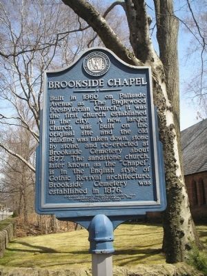
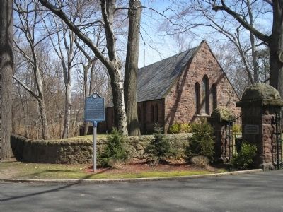
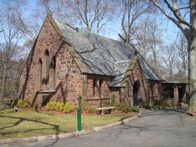
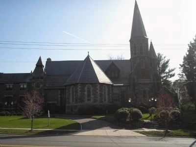
Built in 1860 on Palisade Avenue as “The Englewood Presbyterian Church”, it was the first church established in the city. A new, larger church was built on the original site and the old building was taken down, stone by stone, and re-erected at Brookside Cemetery about 1877. The sandstone church, later known as the “Chapel”, is in the Gothic Revival architecture. Brookside Cemetery was established in 1876.
Erected 1989 by Bergen County Historical Society. (Marker Number 74.)
Topics and series. This historical marker is listed in these topic lists: Cemeteries & Burial Sites • Churches & Religion. In addition, it is included in the New Jersey, Bergen County Historical Society series list. A significant historical year for this entry is 1860.
Location. 40° 54.375′ N, 73° 57.956′ W. Marker is in Englewood, New Jersey, in Bergen County. Marker is on Engle Street (County Route 501), on the right when traveling north. Touch for map. Marker is in this post office area: Englewood NJ 07631, United States of America. Touch for directions.
Other nearby markers. At least 8 other markers are within 2 miles of this marker, measured as the crow flies. English Neighborhood Union School (approx. half a mile away); Saint Paul’s Episcopal Church (approx. 0.7 miles away); Liberty Pole (approx. one mile away); a different marker also named Liberty Pole (approx. one mile away); Roelof Westervelt House (approx. one mile away); First Presbyterian Church (approx. 1.1 miles away); British & Hessian Invasion (approx. 1.1 miles away); John G. Benson House (approx. 1.2 miles away). Touch for a list and map of all markers in Englewood.
Also see . . . Bergen County Historical Society. Society website entry (Submitted on April 10, 2008, by Bill Coughlin of Woodland Park, New Jersey.)
Credits. This page was last revised on December 12, 2021. It was originally submitted on April 10, 2008, by Bill Coughlin of Woodland Park, New Jersey. This page has been viewed 2,017 times since then and 30 times this year. Photos: 1, 2, 3, 4. submitted on April 10, 2008, by Bill Coughlin of Woodland Park, New Jersey. • Christopher Busta-Peck was the editor who published this page.


