Near Potomac in Montgomery County, Maryland — The American Northeast (Mid-Atlantic)
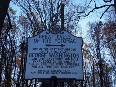
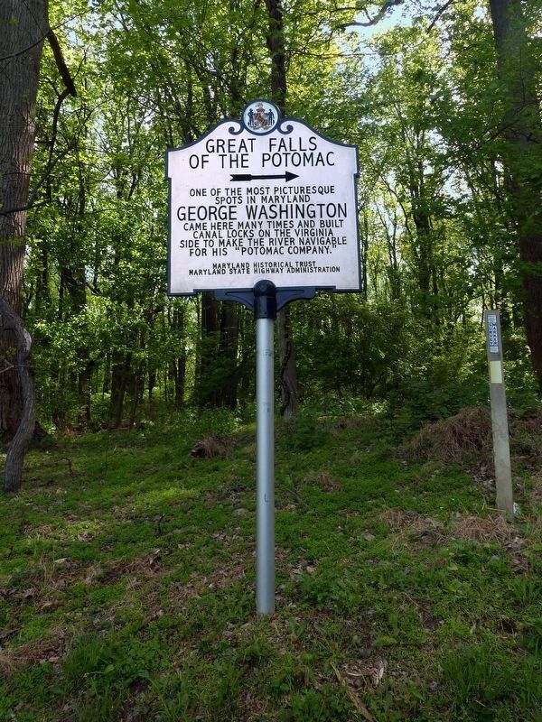
Great Falls of the Potomac
→
Erected 2013 by Maryland Historical Trust, Maryland State Highway Administration.
Topics and series. This historical marker is listed in this topic list: Waterways & Vessels. In addition, it is included in the Chesapeake and Ohio (C&O) Canal series list.
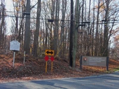
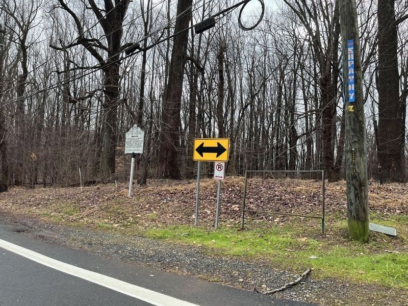
Location. 38° 59.752′ N, 77° 13.866′ W. Marker is near Potomac, Maryland, in Montgomery County. Marker is at the intersection of Falls Road and MacArthur Boulevard, on the right when traveling south on Falls Road. Touch for map. Marker is in this post office area: Potomac MD 20854, United States of America. Touch for directions.
Other nearby markers. At least 8 other markers are within walking distance of this marker. The Maryland Mine (about 600 feet away, measured in a direct line); The Floods (approx. 0.8 miles away); Fighting Floods (approx. one mile away); A Geologic Barrier (approx. one mile away); Washington Aqueduct (approx. one mile away); Welcome to Great Falls (approx. one mile away); Great Falls Tavern (approx. one mile away); Creating a National Park (approx. one mile away). Touch for a list and map of all markers in Potomac.
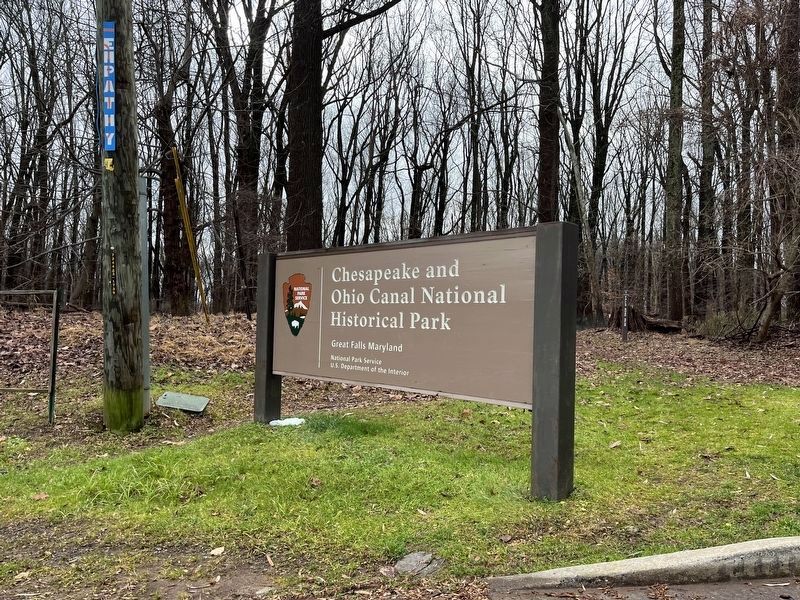
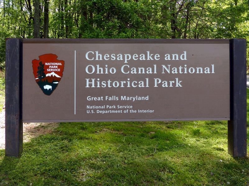
Regarding Great Falls of the Potomac. This marker is near the entrance to the Chesapeake and Ohio Canal National Historical Park. Here one can hike along the canal towpath and take the trail to Olmstead Island to see the spectacular view of the Great Falls of the Potomac.
Credits. This page was last revised on January 11, 2024. It was originally submitted on November 12, 2013, by Patricia Lawrence of Gaithersburg, Maryland. This page has been viewed 729 times since then and 18 times this year. Photos: 1, 2. submitted on November 12, 2013, by Patricia Lawrence of Gaithersburg, Maryland. 3. submitted on April 27, 2017, by Allen C. Browne of Silver Spring, Maryland. 4, 5. submitted on December 28, 2023, by Adam Margolis of Mission Viejo, California. 6, 7. submitted on April 27, 2017, by Allen C. Browne of Silver Spring, Maryland. • Bill Pfingsten was the editor who published this page.
