Walterboro in Colleton County, South Carolina — The American South (South Atlantic)
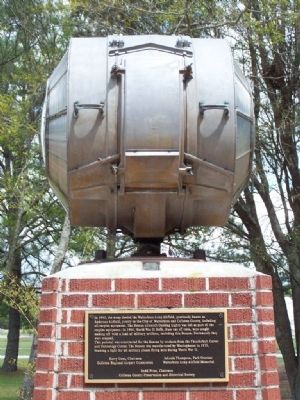
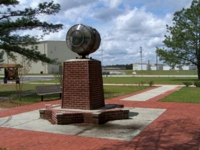
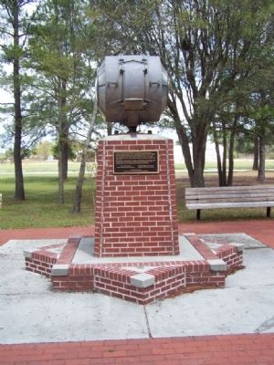
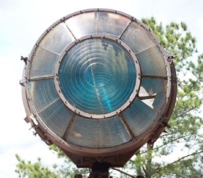
The Beacon
(Aircraft Guiding Light)
This pedestal was constructed for the Beacon by students from the Thunderbolt Career and Technology Center. The Beacon was manufactured by Westinghouse in 1933, beaming light for all military planes flying here in World War II.
Harry Cone, Chairman
Colleton Airport Commission
Johnie Thompson, Park Overseer
Walterboro Army Airfield Memorial
Budd Price, Chairman
Colleton County Preservation and Historical Society
Topics. This historical marker is listed in these topic lists: Air & Space • War, World II. A significant historical year for this entry is 1945.
Location. 32° 54.983′ N, 80° 38.258′ W. Marker is in Walterboro, South Carolina, in Colleton County. Marker is on Aviation Way, on the right when traveling north. At the county airport. Touch for map. Marker is in this post office area: Walterboro SC 29488, United States of America. Touch for directions.
Other nearby markers. At least 8 other markers are within 2 miles of this marker , measured as the crow flies. The Tuskegee Airmen (a few steps from this marker); The Tuskegee Airman of World War II (a few steps from this marker); Anderson Field / Walterboro Army Air Field (within shouting distance of this marker); Walterboro Army Air Field (within shouting distance of this marker); Prisoner Of War Camp and Camouflage School (within shouting distance of this marker); Walterboro Army Airfield (within shouting distance of this marker); a different marker also named Walterboro Army Airfield (within shouting distance of this marker); Bethel Presbyterian Church (approx. 1.4 miles away). Touch for a list and map of all markers in Walterboro.
Credits. This page was last revised on June 16, 2016. It was originally submitted on April 11, 2008, by Mike Stroud of Bluffton, South Carolina. This page has been viewed 1,425 times since then and 12 times this year. Photos: 1, 2, 3, 4. submitted on April 11, 2008, by Mike Stroud of Bluffton, South Carolina. • Kevin W. was the editor who published this page.


