Yamacraw Village in Savannah in Chatham County, Georgia — The American South (South Atlantic)
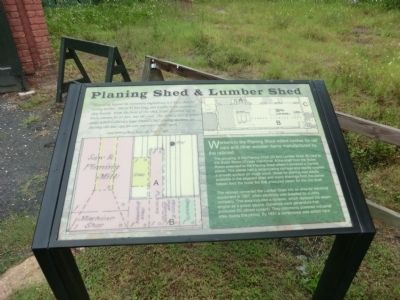
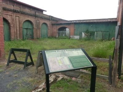
Planing Shed & Lumber Shed
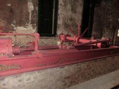
The grouping of the Planing Shed (A) and Lumber Shed (B) next to the Boiler Room (C) was intentional. A line shaft from the Boiler Room extended to the Planing Shed where it powered a Daniels planer. This planer had a reciprocating carriage and rapidly created a smooth surface on rough wood. Wood for planning was readily available in the adjacent shed and wood shavings from the planer helped feed the boiler fire that produced steam for the line shaft.
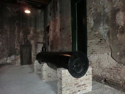
The railroad converted the Lumber Shed into an area for electrical equipment in 1907, when electricity was supplied by a utility company. This area included a dynamo, which replaced the steam engine as a power source. Dynamos were generators that produced DC (direct current). They commonly powered industrial sites during this period. By 1931 a compressor was added here.
“Extending beyond the stationary enginehouse is a brick shed for storing lumber. This is 83 feet long, and reaches to the carpenters’ shop beyond. From the front of this shed, a roof is carried out on brick columns for 63 feet, into the yard. This forms a sort of arbor, under which is placed a large Daniel’s (sic) planning machine, for dressing siffs and caps for cars and other similar work.” —Daily Morning News, Savannah, July 17, 1855
Topics. This historical marker is listed in this topic list: Railroads & Streetcars. A significant historical date for this entry is July 17, 1951.
Location. 32° 4.5′ N, 81° 6.133′ W. Marker is in Savannah, Georgia, in Chatham County. It is in Yamacraw Village. Marker can be reached from Louisville Road, 0.2 miles east of West Boundary Street, on the right when traveling east. The marker is located on the grounds of the Georgia State Railroad Museum. Touch for map. Marker is at or near this postal address: 655 Louisville Road, Savannah GA 31401, United States of America. Touch for directions.
Other nearby markers. At least 8 other markers are within walking distance of this marker. Boiler Room (here, next to this marker); Central Of Georgia Railroad (here, next to this marker); Smokestack (within shouting distance of this marker); Blacksmith Shop (within shouting distance of this marker); Storehouse (within shouting distance of this marker); Drop Table (within shouting distance of this marker); Turntable (within shouting distance of this marker); Machine Shop (within shouting distance of this marker). Touch for a list and map of all markers in Savannah.
Also see . . .
1. Georgia State Railroad Museum. Wikipedia entry (Submitted on October 8, 2023, by Larry Gertner of New York, New York.)
2. Coastal Heritage Society. Website homepage (Submitted on October 8, 2023, by Larry Gertner of New York, New York.)
Credits. This page was last revised on October 8, 2023. It was originally submitted on November 18, 2013, by Don Morfe of Baltimore, Maryland. This page has been viewed 394 times since then and 11 times this year. Photos: 1, 2, 3, 4. submitted on November 18, 2013, by Don Morfe of Baltimore, Maryland. • Bernard Fisher was the editor who published this page.


