Ogallala in Keith County, Nebraska — The American Midwest (Upper Plains)
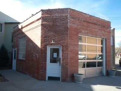
Standard Oil Gas Station
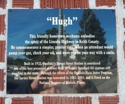
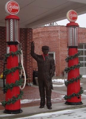
“Hugh”
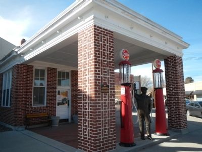
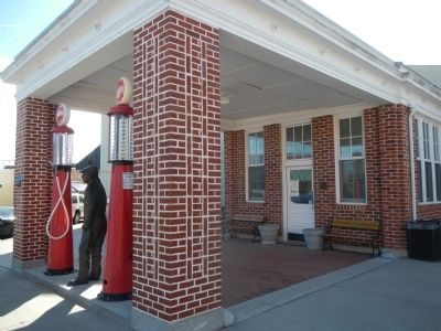
Built in 1922, Ogallala’s Spruce Street Station is considered one of the best preserved of the fewer than 20 former Standard Oil stations still standing in the state. Through the efforts of the Ogallala’s Main Street Program, the Spruce Street Station was renovated in 2002-2003, and is listed on the National Register of Historic Places.
Topics and series. This historical marker is listed in these topic lists: Industry & Commerce • Roads & Vehicles. In addition, it is included in the Lincoln Highway series list. A significant historical year for this entry is 1922.
Location. 41° 7.585′ N, 101° 43.173′ W. Marker is in Ogallala, Nebraska, in Keith County. Marker is on North Spruce Street near West 3rd Street, on the right when traveling south. Touch for map. Marker is at or near this postal address: 298 North Spruce Street, Ogallala NE 69153, United States of America. Touch for directions.
Other nearby markers. At least 8 other markers are within walking distance of this marker. End of the Texas Trail (within shouting distance of this marker); The Pony Express (within shouting distance of this marker); Highways 26 and 92 (about 300 feet away, measured in a direct line); The Mormon Trail (about 400 feet away); California Hill (about 400 feet away); KOGA AM & FM (about 400 feet away); The Union Pacific (about 400 feet away); The Great Platte River Road (about 500 feet away). Touch for a list and map of all markers in Ogallala.
Credits. This page was last revised on June 16, 2016. It was originally submitted on November 23, 2013, by Barry Swackhamer of Brentwood, California. This page has been viewed 681 times since then and 22 times this year. Photos: 1, 2, 3, 4, 5. submitted on November 23, 2013, by Barry Swackhamer of Brentwood, California. • Andrew Ruppenstein was the editor who published this page.
