Near Hornbrook in Siskiyou County, California — The American West (Pacific Coastal)
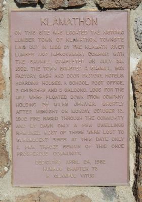
Klamathon
Erected 1982 by E Clampus Vitus, Humbug Chapter 73.
Topics and series. This historical marker is listed in these topic lists: Industry & Commerce • Settlements & Settlers. In addition, it is included in the E Clampus Vitus series list. A significant historical month for this entry is July 1855.
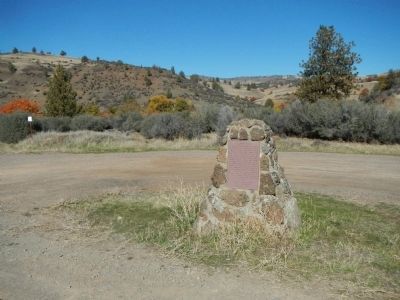
Location. 41° 53.905′ N, 122° 30.556′ W. Marker is near Hornbrook, California, in Siskiyou County. Marker is on Klamathon Road near Ager Road, on the right when traveling west. Touch for map. Marker is at or near this postal address: 13529 Klamathon Rd, Hornbrook CA 96044, United States of America. Touch for directions.
Other nearby markers. At least 8 other markers are within 9 miles of this marker, measured as the crow flies. Founding of the American Legion (approx. 2˝ miles away); Cottonwood Basin (approx. 2.8 miles away); Bradford Ripley Alden (approx. 2.8 miles away); Cottonwood (approx. 2.8 miles away); All Roads Lead to Ager Stage and Freight Stop (approx. 3.3 miles away); Wilkes Expedition (approx. 6.4 miles away); Pioneer Stage Drivers (approx. 7˝ miles away); Hilt, CA (approx. 8.9 miles away). Touch for a list and map of all markers in Hornbrook.
Credits. This page was last revised on June 16, 2016. It was originally submitted on November 14, 2013, by Barry Swackhamer of Brentwood, California. This page has been viewed 888 times since then and 49 times this year. Last updated on November 27, 2013, by Barry Swackhamer of Brentwood, California. Photos: 1, 2. submitted on November 14, 2013, by Barry Swackhamer of Brentwood, California. • Syd Whittle was the editor who published this page.

