Near Centerville in Linn County, Kansas — The American Midwest (Upper Plains)
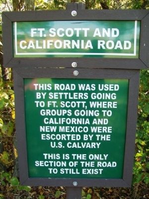
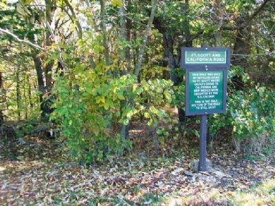
Ft. Scott and California Road
This road was used by settlers going to Ft. Scott, where groups going to California and New Mexico were escorted by the U.S. Calvary
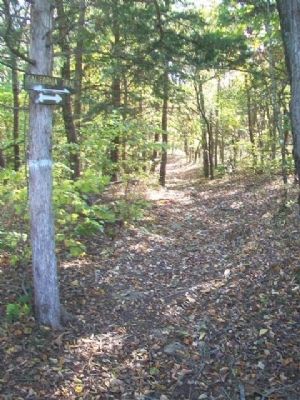
This is the only section of the road to still exist
Erected by Indian Awareness Center of the Fulton County Historical Society and St. Philippine Duchesne Memorial Park Committee.
Topics. This historical marker is listed in these topic lists: Forts and Castles • Roads & Vehicles.
Location. 38° 14.105′ N, 94° 56.59′ W. Marker is near Centerville, Kansas, in Linn County. Marker is on the grounds of St. Philippine Duchesne Memorial Park, off 1525th Road, about four miles ENE of Centerville. Touch for map. Marker is in this post office area: Centerville KS 66014, United States of America. Touch for directions.
Other nearby markers. At least 8 other markers are within walking distance of this marker. "Quah-Kah-Ka-Num-Ad" (within shouting distance of this marker); Father Petit and the Trail of Death (within shouting distance of this marker); Daily Offering (within shouting distance of this marker); Log Cabin School (within shouting distance of this marker); Priests House (about 300 feet away, measured in a direct line); Log Convent (about 300 feet away); Father Petit and the Potawatomi 'Trail of Death' (about 300 feet away); Potawatomi "Trail of Death" march & death of Fr. Petit (about 300 feet away). Touch for a list and map of all markers in Centerville.
Regarding Ft. Scott and California Road. The U.S. Army closed Fort Scott in 1853. Dragoons (i.e. cavalry) stationed there only occasionally escorted wagon trains across the Great Plains, and never escorted settlers to California.
Also see . . .
1. St. Philippine Duchesne Memorial Park. (Submitted on December 2, 2013, by William Fischer, Jr. of Scranton, Pennsylvania.)
2. Fort Scott National Historic Site. (Submitted on December 2, 2013, by William Fischer, Jr. of Scranton, Pennsylvania.)
Credits. This page was last revised on September 6, 2020. It was originally submitted on December 2, 2013, by William Fischer, Jr. of Scranton, Pennsylvania. This page has been viewed 490 times since then and 10 times this year. Photos: 1, 2, 3. submitted on December 2, 2013, by William Fischer, Jr. of Scranton, Pennsylvania.


