Rock Creek Park in Northwest Washington in Washington, District of Columbia — The American Northeast (Mid-Atlantic)
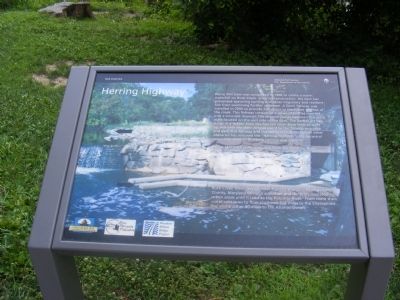
Herring Highway
Rock Creek Park
— National Park Service, U.S. Department of the Interior —
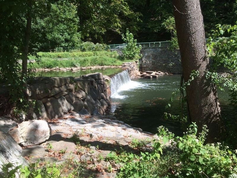
Peirce Mill Dam was completed in 1906 to create a scenic waterfall on Rock Creek. Since its construction, the dam has prevented spawning herring and other migratory and resident fish from swimming further upstream. A Denil fishway was installed in 2006 to provide fish access to the upper reaches of the creek. This fishway consists of a series of baffles inserted into a concrete channel. The channel passes between the stone walls located on the east side of the dam. The baffles act like rungs in a ladder. Now the fish can swim from level to level up and over the dam. Arrows point to the fishway entrance and exit. This fishway and the removal or alteration of other obstacles has restored the "Herring Highway", the ancestral spawning route of Blueback herring and Alewife.
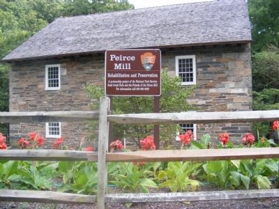
Pierce Mill is 4.4 miles upstream from the Potomac River. Rock Creek meanders 33 miles from its source in Montgomery County, Maryland through suburban and densely populated urban areas until it reaches the Potomac River. From there the water continues to flow southeast 112 miles to the Chesapeake Bay and another 80 miles to the Atlantic Ocean.
Erected by National Park Service, U.S. Department of the Interior.
Topics. This historical marker is listed in these topic lists: Animals • Industry & Commerce • Waterways & Vessels. A significant historical year for this entry is 1906.
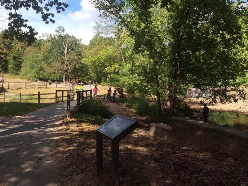
Location. 38° 56.445′ N, 77° 3.065′ W. Marker is in Northwest Washington in Washington, District of Columbia. It is in Rock Creek Park. Marker is on Tilden Street Northwest west of Beach Drive Northwest, on the right when traveling west. The marker is on the grounds of Rock Creek Park-Pierce Mill unit, to the southeast of the Peirce Mill on the Western Ridge Trail. Touch for map. Marker is in this post office area: Washington DC 20008, United States of America. Touch for directions.
Other nearby markers. At least 8 other markers are within walking distance of this marker. Pierce Plantation (within shouting distance of this marker); Machine in a Stone Box (within shouting distance of this marker); Rock Creek's Mills (within shouting distance of this marker); Orchards, Fields, Gardens, Pastures (within shouting distance of this marker); The Peirce Family Estate (about 400 feet away, measured in a direct line); Peirce Still House (about 500 feet away); Springhouse (about 600 feet away); Peirce Mill (about 600 feet away). Touch for a list and map of all markers in Northwest Washington.
Credits. This page was last revised on January 30, 2023. It was originally submitted on December 9, 2013, by Don Morfe of Baltimore, Maryland. This page has been viewed 777 times since then and 5 times this year. Photos: 1, 2. submitted on December 9, 2013, by Don Morfe of Baltimore, Maryland. 3, 4. submitted on September 19, 2016, by J. Makali Bruton of Accra, Ghana. • Bill Pfingsten was the editor who published this page.


