Marker Logo HMdb.org THE HISTORICAL
MARKER DATABASE
“Bite-Size Bits of Local, National, and Global History”
Anchorage, Alaska — Northwest (North America)
 

1964 Earthquake


1964 Earthquake Marker image. Click for full size.
Photographed By Don Morfe, September 11, 2009
1. 1964 Earthquake Marker
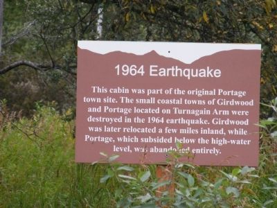
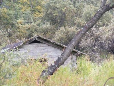
Inscription. This cabin was part of the original Portage town site. The small coastal towns of Girdwood and Portage located on Turnagain Arm were destroyed in the 1964 earthquake. Girdwood was later relocated a few miles inland, while Portage, which subsided below the high-water level, was abandoned entirely.
 
Topics. This historical marker is listed in this topic list: Disasters. A significant historical year for this entry is 1964.
 
Location. 60° 49.291′ N, 148° 58.777′ W. Marker is in Anchorage, Alaska. Marker is on Steward Highway. This marker is on the grounds of the Alaska Wildlife Conservation Center. Touch for map. Marker is at or near this postal address: 43640 Seward Hwy, Girdwood AK 99587, United States of America. Touch for directions.
 
Other nearby markers. At least 6 other markers are within 5 miles of this marker, measured as the crow flies. Moose Calves (about 600 feet away, measured in a direct line); A Prickly World (approx. 0.2 miles away); Our Living National Symbol (approx. 0.2 miles away); Brown Bears of AWCC (approx. 0.2 miles away); Atlantic Salmon-A Threat to the Chugach National Forest? (approx. 4.1 miles away); Coho Salmon Life Cycle (approx. 4.1 miles away).
 
Paid Advertisement
Click on the ad for more information.
Please report objectionable advertising to the Editor.
Click or scan to see
this page online
1964 Earthquake Marker image. Click for full size.
Photographed By Don Morfe, September 11, 2009
2. 1964 Earthquake Marker
1964 Earthquake Marker image. Click for full size.
Photographed By Don Morfe, September 11, 2009
3. 1964 Earthquake Marker
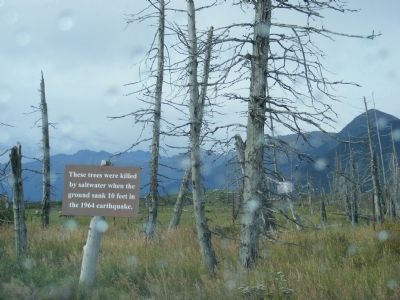
These trees were killed by saltwater when the ground sank 10 feet in the 1964 earthquake.
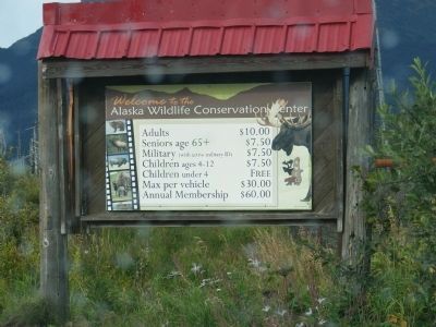
Sign is located at the entrance to the park. image. Click for full size.
Photographed By Don Morfe, September 11, 2009
4. Sign is located at the entrance to the park.
 
 
Credits. This page was last revised on September 13, 2021. It was originally submitted on December 11, 2013, by Don Morfe of Baltimore, Maryland. This page has been viewed 877 times since then and 33 times this year. Photos:   1, 2, 3, 4. submitted on December 11, 2013, by Don Morfe of Baltimore, Maryland. • Andrew Ruppenstein was the editor who published this page.
Share this page.  
Share on Tumblr
m=70719

CeraNet Cloud Computing sponsors the Historical Marker Database.
This website earns income from purchases you make after using our links to Amazon.com. We appreciate your support.
Paid Advertisement
Apr. 24, 2024