Paradise Inn in Pierce County, Washington — The American West (Northwest)
Changing Course
Mount Rainier National Park
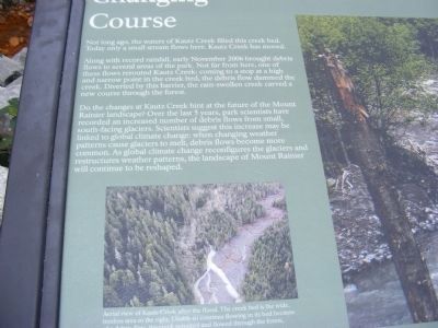
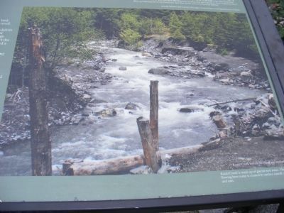
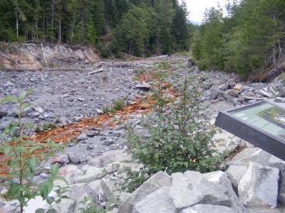
Along with record rainfall, early November 2006 brought debris flows to several areas of the park. Not far from here, one of these flows rerouted Kautz Creek: coming to a stop at a high and narrow point in the creek bed, the debris flow dammed the creek. Diverted by this barrier, the rain-swollen creek carved a new course through the forest.
Do the changes at Kautz Creek hint at the future of the Mount Rainier landscape? Over the last 5 years, park scientists have recorded an increase number of debris flows from small, south-facing glaciers. Scientists suggest this increase may be linked to global climate change: when changing weather patterns cause glaciers to melt, debris flows become more common. As global climate change reconfigures the glaciers and restructures weather patterns, the landscape of Mount Rainier will continue to be reshaped.
Erected by National Park Service-United States Department of the Interior.
Topics. This historical marker is listed in this topic list: Natural Features. A significant historical year for this entry is 2006.
Location. 46° 44.483′ N, 121° 53.786′ W. Marker is in Paradise Inn, Washington, in Pierce County. Marker is on Paradise Road East. The marker is located in Mount Rainier National Park. Touch for map. Marker is in this post office area: Paradise Inn WA 98398, United States of America. Touch for directions.
Other nearby markers. At least 5 other markers are within 9 miles of this marker, measured as the crow flies. A Recovering Forest (a few steps from this marker); Kautz Creek Nature Trail (a few steps from this marker); An Ancient Community (approx. 8.2 miles away); Paradise Inn (approx. 8.3 miles away); Inspired to Preserve (approx. 8.7 miles away).
Credits. This page was last revised on October 12, 2020. It was originally submitted on December 13, 2013, by Don Morfe of Baltimore, Maryland. This page has been viewed 349 times since then and 8 times this year. Photos: 1, 2, 3, 4. submitted on December 13, 2013, by Don Morfe of Baltimore, Maryland. • Syd Whittle was the editor who published this page.
Editor’s want-list for this marker. Full view of the marker. • • Can you help?


