Marker Logo HMdb.org THE HISTORICAL
MARKER DATABASE
“Bite-Size Bits of Local, National, and Global History”
Port Tobacco in Charles County, Maryland — The American Northeast (Mid-Atlantic)
 

Saint Ignatius' Church

Saint Thomas' Manor


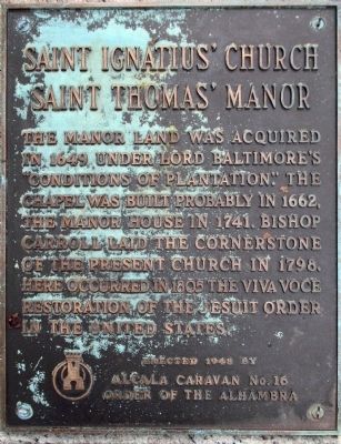
Saint Ignatius' Church Marker image. Click for full size.
Photographed By Allen C. Browne, September 25, 2011
1. Saint Ignatius' Church Marker
Inscription. The Manor Land was acquired in 1649, under Lord Baltimore's "Conditions of Plantation." The Chapel was built probably in 1662, the manor house in 1741. Bishop Carroll laid the cornerstone of the present church in 1798. Here occurred in 1805 the viva voce restoration of the Jesuit order in the United States.

Erected 1949 by Alcala Caravan No. 16 Order of Alhambra.
 
Erected 1949 by The Order of Alhambra.
 
Topics. This historical marker is listed in these topic lists: Churches & ReligionColonial Era. A significant historical year for this entry is 1649.
 
Location. 38° 27.939′ N, 77° 1.441′ W. Marker is in Port Tobacco, Maryland, in Charles County. Marker is on Chapel Point Road, on the right when traveling west. Marker is near the Cemetery at St. Ignatius Church. Touch for map. Marker is at or near this postal address: 8855 Chapel Point Rd, Port Tobacco MD 20677, United States of America. Touch for directions.
 
Other nearby markers. At least 8 other markers are within 2 miles of this marker, measured as the crow flies. The Tension of Liberty (a few steps from this marker); St. Ignatius Catholic Church (within shouting distance of this marker); Rise from the Ashes (within shouting distance of this marker); Ways to Explore Southern Maryland’s Scenic and Historic Routes (within shouting distance of this marker);
Paid Advertisement
Click on the ad for more information.
Please report objectionable advertising to the Editor.
Click or scan to see
this page online
Saint Thomas Manor (within shouting distance of this marker); Chapel Point Park (approx. 0.2 miles away); Mulberry Grove (approx. 1.9 miles away); John Hanson (approx. 1.9 miles away). Touch for a list and map of all markers in Port Tobacco.
 
Saint Ignatius' Church Marker image. Click for full size.
National Park Service, Thomas Stone National Historic Site, January 22, 2019
2. Saint Ignatius' Church Marker
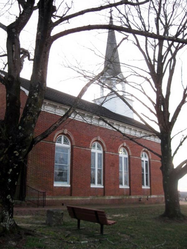
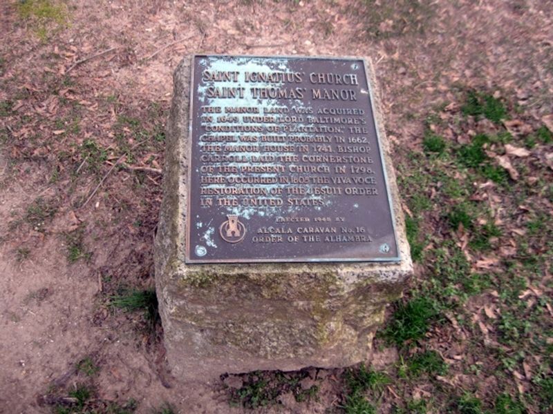
Saint Ignatius' Church Marker to the left of the bench. image. Click for full size.
National Park Service, Thomas Stone National Historic Site, January 22, 2019
3. Saint Ignatius' Church Marker to the left of the bench.
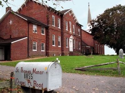
Saint Thomas's Manor image. Click for full size.
Photographed By Allen C. Browne, September 25, 2011
4. Saint Thomas's Manor
St. Thomas Manor, 8855 Chapel Point Road.
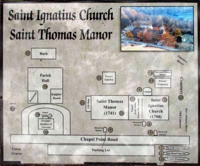
Map image. Click for full size.
Photographed By Allen C. Browne, September 25, 2011
5. Map
This marker may be No. 8 on this map.
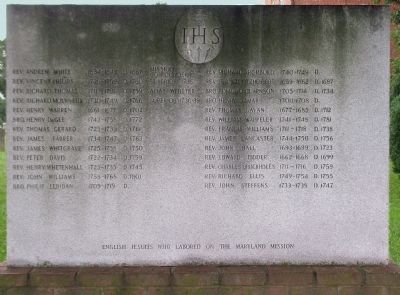
Jesuits Who Labored in the Maryland Mission image. Click for full size.
Photographed By Allen C. Browne, September 25, 2011
6. Jesuits Who Labored in the Maryland Mission
From 'Rev. Andrew White 1634-1645, Died 1657' to 'Rev. John Steffens 1733-1738 Died 1747'.
 
 
Credits. This page was last revised on March 21, 2020. It was originally submitted on December 17, 2013, by Allen C. Browne of Silver Spring, Maryland. This page has been viewed 592 times since then and 19 times this year. Photos:   1. submitted on December 17, 2013, by Allen C. Browne of Silver Spring, Maryland.   2, 3. submitted on January 25, 2019.   4, 5, 6. submitted on December 17, 2013, by Allen C. Browne of Silver Spring, Maryland. • Bill Pfingsten was the editor who published this page.
Share this page.  
Share on Tumblr
m=70788

CeraNet Cloud Computing sponsors the Historical Marker Database.
This website earns income from purchases you make after using our links to Amazon.com. We appreciate your support.
Paid Advertisement
Apr. 19, 2024