Derry-Londonderry in Derry And Strabane, Northern Ireland, United Kingdom — Northwestern Europe (the British Isles)
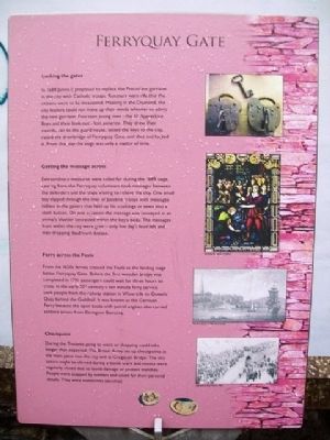
Ferryquay Gate
Locking the gates
In 1688 James II proposed to replace the Protestant garrison in the city with Catholic troops. Rumours were rife that the citizens were to be massacred. Meeting in the Diamond, the city leaders could not make up their minds whether to admit the new garrison. Fourteen young men - the 13 Apprentice Boys and their look-out - lost patience. They drew their swords, ran to the guard house, seized the keys to the city, raised the drawbridge of Ferryquay Gate, and shut and locked it. From that day the siege was only a matter of time.
Getting the message across
Extraordinary measures were called for during the 1689 siege. Leaving from the Ferryquay volunteers took messages between the defenders and the ships waiting to relieve the city. One small boy slipped through the lines of Jacobite troops with messages hidden in the gaiters that held up his stockings or sewn into a cloth button. On one occasion the message was conveyed in an animal's bladder concealed within the boy's body. The messages from within the city were grim - only five day's food left and men dropping dead from disease.
Ferry across the Foyle
From the 1620s ferries crossed the Foyle to the landing stage below Ferryquay Gate. Before the first wooden bridge was completed in 1791 passengers could wait for three hours to cross. In the early 20th century a ten minute ferry service took people from the railway station in Waterside to Queen's Quay behind the Guildhall. It was known as the Garrison Ferry because the open boats with petrol engines also carried soldiers across from Ebrington Barracks.
Checkpoint
During the Troubles going to work or shopping could take longer than expected. The British Army set up checkpoints at the main gates into the city and at Craigavon Bridge. The city centre might be cleared during a bomb scare and streets were regularly closed due to bomb damage or protest marches. People were stopped by soldiers and asked for their personal details. They were sometimes searched.
Topics. This historical marker is listed in these topic lists: Disasters • Forts and Castles • Man-Made Features • Settlements & Settlers. A significant historical year for this entry is 1688.
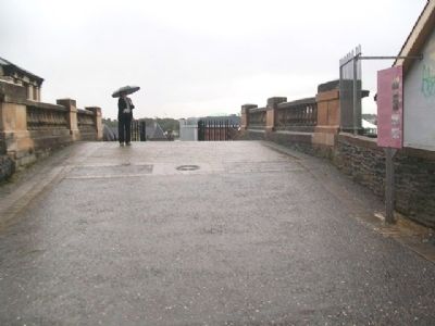
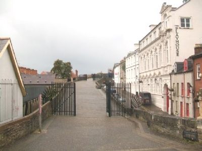
Location. 54° 59.671′ N, 7° 19.211′ W. Marker is in Derry-Londonderry, Northern Ireland, in Derry And Strabane. Marker is on the City Wall walking path, adjacent to the Ferryquay Gate on Ferryquay Street. Touch for map. Marker is in this post office area: Derry-Londonderry, Northern Ireland BT48 6RG, United Kingdom. Touch for directions.
Other nearby markers. At least 8 other markers are within walking distance of this marker. A different marker also named Ferryquay Gate (a few steps from this marker); The Walled City (a few steps from this
marker); Demi-culverin Cannon (within shouting distance of this marker); Newgate Bastion (within shouting distance of this marker); Artillery Bastion (within shouting distance of this marker); a different marker also named Demi-culverin Cannon (within shouting distance of this marker); Newmarket Street (about 90 meters away, measured in a direct line); New Gate (about 120 meters away). Touch for a list and map of all markers in Derry-Londonderry.
Also see . . .
1. The Siege of Derry, 1689. (Submitted on January 3, 2014, by William Fischer, Jr. of Scranton, Pennsylvania.)
2. The Troubles, 1963 to 1985. (Submitted on January 3, 2014, by William Fischer, Jr. of Scranton, Pennsylvania.)
Credits. This page was last revised on August 27, 2020. It was originally submitted on January 3, 2014, by William Fischer, Jr. of Scranton, Pennsylvania. This page has been viewed 508 times since then and 21 times this year. Photos: 1, 2, 3, 4. submitted on January 3, 2014, by William Fischer, Jr. of Scranton, Pennsylvania.


