Wheeling in Ohio County, West Virginia — The American South (Appalachia)
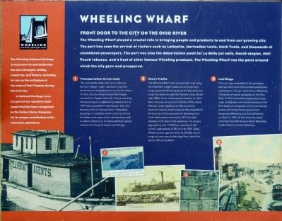
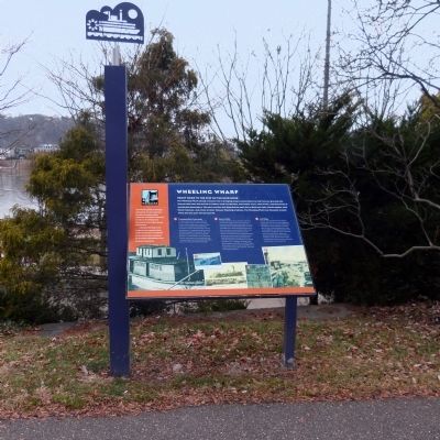
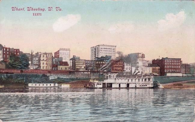
Wheeling Wharf
Front Door to the City on the Ohio River
Topics. This historical marker is listed in these topic lists: Industry & Commerce • Roads & Vehicles • Waterways & Vessels.
Location. 40° 4.051′ N, 80° 43.478′ W. Marker is in Wheeling, West Virginia, in Ohio County. Marker can be reached from Wheeling Heritage Trail. Marker is along the Wheeling Heritage Trail north of the foot of 12th Street. Touch for map. Marker is in this post office area: Wheeling WV 26003, United States of America. Touch for directions.
Other nearby markers. At least 8 other markers are within walking distance of this marker. Wheeling — "a pretty considerable Village" (here, next to this marker); The Sisters of St. Joseph (within shouting distance of this marker); Warwick China Co. Memorial (within shouting distance of this marker); Veterans Memorial (within shouting distance of this marker); Congressional Medal of Honor (within shouting distance of this marker); Gold Star Families Memorial Monument (about 300 feet away, measured in a direct line); Alex Salvatori and James R. Flynn (about 300 feet away); First Mass in West Virginia (about 300 feet away). Touch for a list and map of all markers in Wheeling.
Photographed By Allen C. Browne, December 30, 2013
3. Transportation Crossroads
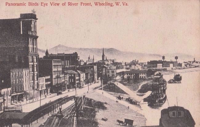
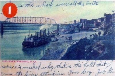
❶ The Zane family chose this spot as the site of their village, in part, because it was the northernmost navigable point on the Ohio River. In 1816, the steamboat George Washington was built for Captain Henry M. Shreve, marking the beginning of a shipbuilding industry that by 1879 had completed 99 steamboats. This area became a hub of transportation. Steamboat passengers could disembark at the wharf and be within a few steps of the railroad depot and in walking distance to the National Road heading west across the great Suspension Bridge.Close-up of postcard on marker
Photographed By Allen C. Browne, December 30, 2013
4. Heavy Traffic
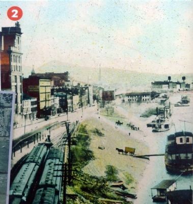
❷ The Wheeling Wharf was an important stop along the Ohio River freight routes. At one time more cargo passed by Wheeling along the Ohio than any cargo that went through the Panama Canal. By the mid-1800s, three million people traveled the Ohio River annually. An account from the 1870s stated that one could regularly see fifty to seventy steamers leaving and passing Wheeling Wharf. An example of how powerful the Wheeling river trade had become was that by 1871 the total tonnage of the ships to be taxed was 116 vessels aggregating over 12,000 tons, growing to 445 vessels aggregating 35, 856 tons by 1878. Today, Wheeling sees approximately 42, 000,000 tons of cargo per year pass the Heritage Port, site of the former Wheeling Wharf. Close-up of photo on marker
Photographed By Allen C. Browne, December 30, 2013
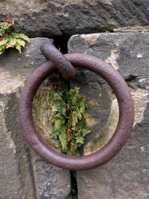
5. Iron Rings
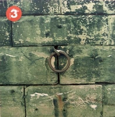
❸ Iron rings embedded in the sandstone wall are relics from the era when steamboats used them to "tie-up" at the Port of Wheeling. The advent of steam navigation on the Ohio River in 1811 marked the beginning of large scale immigration and industrialization in the Ohio Valley. In recognition of this commercial activity, the United States government designated Wheeling as a Port of Delivery on March 1831. At that time, the wharf stretched from 9th street in North Wheeling to 23rd Street in Center Wheeling. Close-up of postcard on marker
Brent Carney
Brent Carney
Credits. This page was last revised on June 16, 2016. It was originally submitted on January 5, 2014, by Allen C. Browne of Silver Spring, Maryland. This page has been viewed 582 times since then and 27 times this year. Photos: 1, 2, 3, 4, 5, 6. submitted on January 5, 2014, by Allen C. Browne of Silver Spring, Maryland. 7. submitted on January 6, 2014, by Allen C. Browne of Silver Spring, Maryland. 8, 9. submitted on November 25, 2015. • Bill Pfingsten was the editor who published this page.
