Lassen Volcanic National Park in Shasta County, California — The American West (Pacific Coastal)
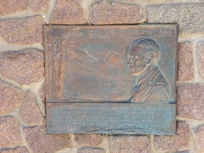
Stephen Tyng Mather
— July 4, 1867 - Jan. 22, 1930 —
Erected by National Park Service.
Topics and series. This historical marker is listed in these topic lists: Charity & Public Work • Environment • Parks & Recreational Areas. In addition, it is included in the Stephen Tyng Mather series list.
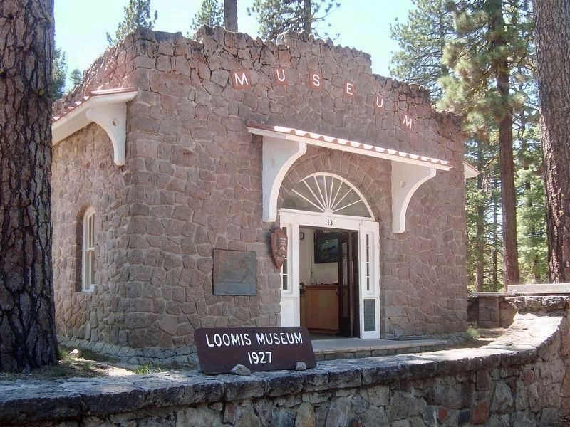
Location. 40° 32.19′ N, 121° 33.78′ W. Marker is in Lassen Volcanic National Park, California, in Shasta County. Marker is on California Route 89, one mile east of California Route 44, on the right when traveling east. Located at the Loomis Museum. Touch for map. Marker is in this post office area: Mineral CA 96063, United States of America. Touch for directions.
Other nearby markers. At least 8 other markers are within 4 miles of this marker, measured as the crow flies. Loomis Legacy (within shouting distance of this marker); People of the Land (approx. 0.9 miles away); Historic Crossroads Gateway (approx. one mile away); Nobles Trail - Manzanita Creek (approx. 1.7 miles away); Nobles Trail – Third Nobles Pass (approx. 1.9 miles away); Nobles' Emigrant Trail (approx. 2.2 miles away); Mt. Lassen/The Noble Pass/The Park Highway (approx. 2.2 miles away); Nobles Trail - Table Mountain (approx. 3.8 miles away).
Also see . . . Mather Plaques History. — “When it comes to Mather Plaques, they are spread out from Alaska to the Virgin Islands, Maine to Hawaii. They cover the gamut of National Parks, Monuments, a Sea Shore, Parkways, Memorials, a Preserve, a Battlefield, Recreation Areas, Historical Parks, Historic Sites, three administrative offices, a couple of State Parks, a city park, and two schools. They are in 16 UNESCO Biosphere Reserves. They are in 11 World Heritage Sites.” (Submitted on April 14, 2022, by Craig Baker of Sylmar, California.)
Credits. This page was last revised on April 15, 2022. It was originally submitted on January 6, 2014, by Travis Mason-Bushman of Rapid City, South Dakota. This page has been viewed 558 times since then and 11 times this year. Photos: 1. submitted on January 6, 2014, by Travis Mason-Bushman of Rapid City, South Dakota. 2. submitted on April 14, 2022. • Syd Whittle was the editor who published this page.

