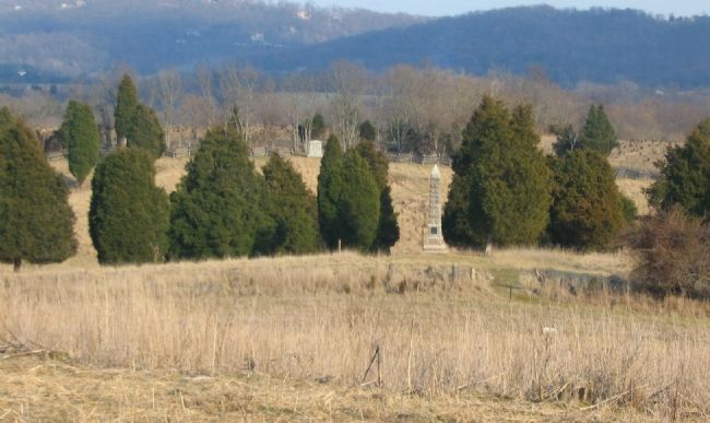
Near Sharpsburg in Washington County, Maryland — The American Northeast (Mid-Atlantic)
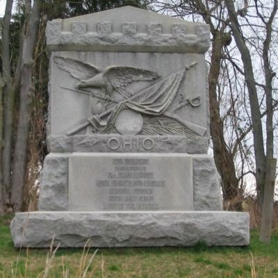
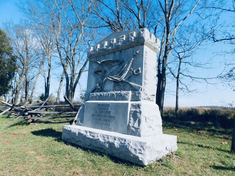
12th Ohio Volunteer Infantry
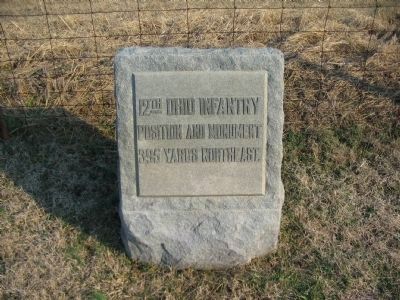
12th Infantry
Commanded by
Col. Carr B. White
Hugh Ewings (1st) Brigade
Kanawha Division
Ninth Army Corps
Army of the Potomac
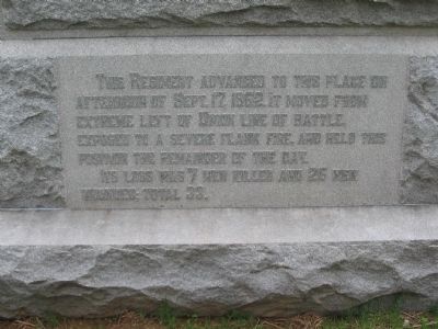
(Rear Inscription):
This Regiment advanced to this place on the afternoon of September 17, 1862. It moved from extreme left of Union line of battle exposed to a severe flank fire and held their position the remainder of the day. Its loss was 17 men killed and 25 men wounded, total 33.
Erected 1903 by State of Ohio.
Topics. This historical marker is listed in this topic list: War, US Civil. A significant historical date for this entry is September 17, 1845.
Location. 39° 26.861′ N, 77° 44.238′ W. Marker is near Sharpsburg, Maryland, in Washington County. Marker is on Branch Avenue, on the left when traveling south. Located at stop seven of the Final Attack walking trail. Touch for map. Marker is in this post office area: Sharpsburg MD 21782, United States of America. Touch for directions.
Other nearby markers. At least 8 other markers are within walking distance of this marker. We Poured Volley After Volley, Doubtless With Terrible Execution (within shouting distance of this marker); 16th Connecticut Volunteer Infantry (about 600 feet away, measured in a direct line); Battery E, 4th U.S. Artillery (about 700 feet away); 30th Ohio Volunteer Infantry (approx. 0.2 miles away); Rodman's Division, Ninth Army Corps (approx. 0.2 miles away); Ninth Army Corps (approx. 0.2 miles away); Archer's Brigade (approx. 0.2 miles away); a different marker also named Battery E, 4th U.S. Artillery (approx. 0.2 miles away). Touch for a list and map of all markers in Sharpsburg.
Also see . . . 12th Ohio Volunteer Infantry Monument. National Park Service page detailing the monument. (Submitted on April 15, 2008, by Craig Swain of Leesburg, Virginia.)
Photographed By Craig Swain, April 6, 2008
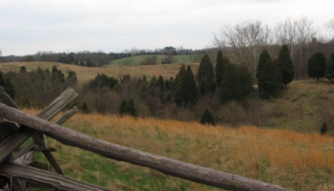
5. 12th Ohio Faces the A.P. Hill's Attack
From a point just north of the monument, looking east across the ground covered at the time of the battle by the Forty Acre Cornfield. Portions of several Confederate regiments advanced into the draw in the foreground here. The 12th Ohio, supported by artillery placed on the high ground to the east defended this sector, which for all intents was the Federal left flank in the closing stages of the battle.
Photographed By Craig Swain, April 6, 2008
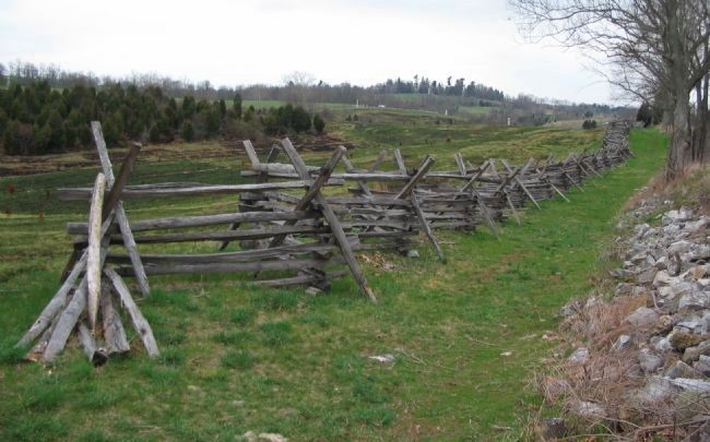
6. Federal Left Flank and the 12th Ohio Battle Line
Looking north along the Otto Farm Lane, standing next to the monument. In the distance is stop 10 on the driving tour, where several monuments stand. To the right distance is the 11th Ohio Monument. This view illustrates the exposed position of the 12th Ohio at this stage of the battle. Archer's Confederate Brigade had driven back the Federals from the ground between the two Ohio regiment's monuments. Recently the park service conducted controlled brush fires to clear the ground somewhat. Several sections of burnt grass can be seen across the valley.
Credits. This page was last revised on May 21, 2021. It was originally submitted on April 15, 2008, by Craig Swain of Leesburg, Virginia. This page has been viewed 1,373 times since then and 22 times this year. Photos: 1, 2, 3. submitted on April 15, 2008, by Craig Swain of Leesburg, Virginia. 4. submitted on May 14, 2021, by Bradley Owen of Morgantown, West Virginia. 5, 6, 7. submitted on April 15, 2008, by Craig Swain of Leesburg, Virginia.
