Del Rio in Val Verde County, Texas — The American South (West South Central)
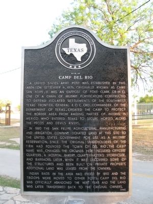
Site of Camp Del Rio
A United States Army post was established in this area on September 6, 1876. Originally known as Camp San Felipe, it was an outpost of Fort Clark (28 mi. E), one of a chain of military fortifications constructed to defend isolated settlements of the Southwest Texas frontier. General E.O.C. Ord, Commander of the Department of Texas, created the camp to protect the border area from raiding parties of Indians in Mexico who entered Texas to secure horses along the Pecos and Devils Rivers.
In 1880 the San Felipe Agricultural, Manufacturing and Irrigation Company donated land at this site to the United States Government for use as a military reservation. Since the original shareholders of the firm had founded the town of Del Rio, the camp name was changed. The grounds here included officers' quarters, a hospital, bakery, quartermaster's storehouse, and barracks. Later, when it was discovered some of the structures had been built on private property, additional land was leased from the owners.
Indians raids in the area had ended by 1890 and the troops were moved to other posts. Camp Del Rio was officially abandoned the next year and the land was later transferred back to the original owners.
Erected 1980 by Texas Historical Commission. (Marker Number 4742.)
Topics. This historical marker is listed in these topic lists: Forts and Castles • Native Americans • Settlements & Settlers • Wars, US Indian. A significant historical month for this entry is September 1946.
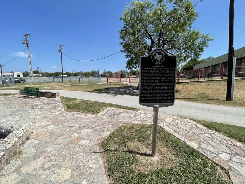
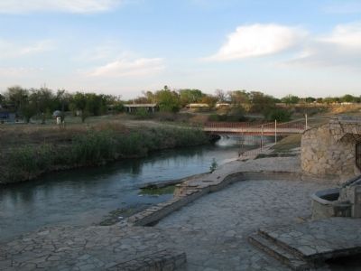
Location. 29° 21.848′ N, 100° 53.162′ W. Marker is in Del Rio, Texas, in Val Verde County. Marker can be reached from De La Rosa Street. Marker is located along the Mayor Dora Alcalá Hike and Bike Trail. Touch for map. Marker is in this post office area: Del Rio TX 78840, United States of America. Touch for directions.
Other nearby markers. At least 8 other markers are within walking distance of this marker. Langston School (about 300 feet away, measured in a direct line); Cal Rodgers and the Vin Fiz (about 700 feet away); Camp Michie (approx. ¼ mile away); Val Verde County (approx. 0.4 miles away); U.S. Army Camel Corps (approx. 0.4 miles away); San Felipe Independent School District (approx. half a mile away); San Felipe High School (approx. half a mile away); Glenn-Dowe House (approx. 0.6 miles away). Touch for a list and map of all markers in Del Rio.
Credits. This page was last revised on October 30, 2022. It was originally submitted on January 10, 2014, by Richard Denney of Austin, Texas. This page has been viewed 933 times since then and 76 times this year. Photos: 1. submitted on January 10, 2014, by Richard Denney of Austin, Texas. 2. submitted on October 30, 2022, by Brian Anderson of Humble, Texas. 3. submitted on January 10, 2014, by Richard Denney of Austin, Texas. • Bernard Fisher was the editor who published this page.


