Estates in San Jose in Santa Clara County, California — The American West (Pacific Coastal)
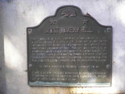
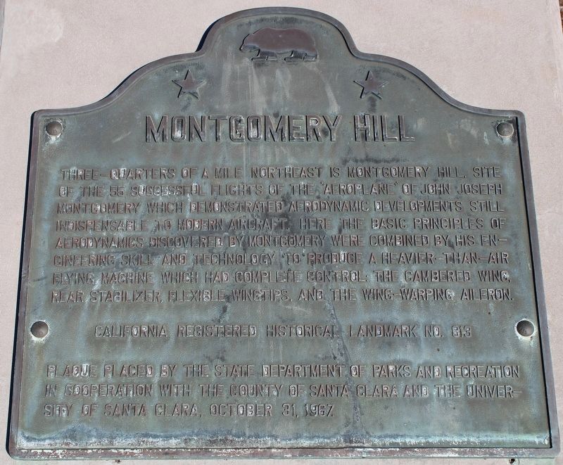
Montgomery Hill
Erected 1967 by State Department of Parks & Recreation, County of Santa Clara, The University of Santa Clara. (Marker Number 813.)
Topics and series. This historical marker is listed in these topic lists: Air & Space • Landmarks • Notable Events. In addition, it is included in the California Historical Landmarks series list.
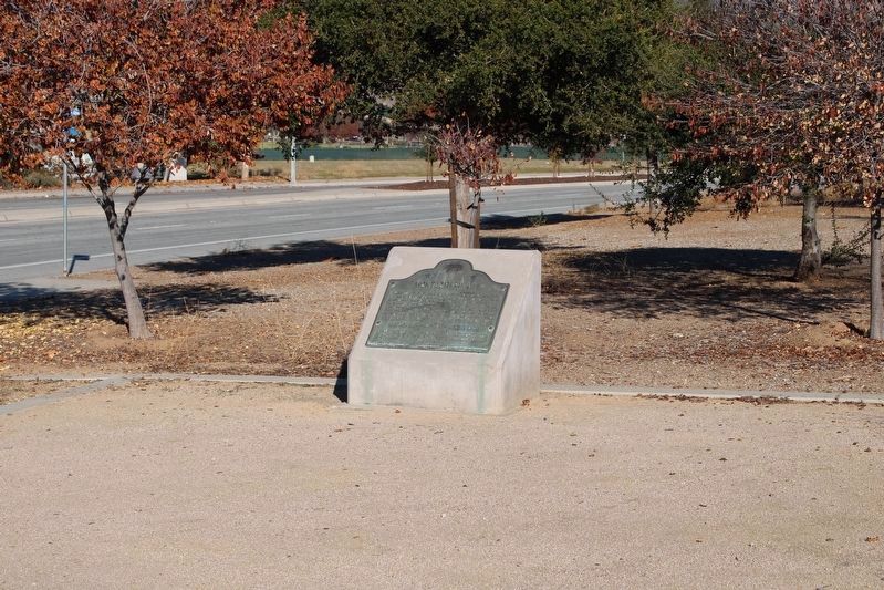
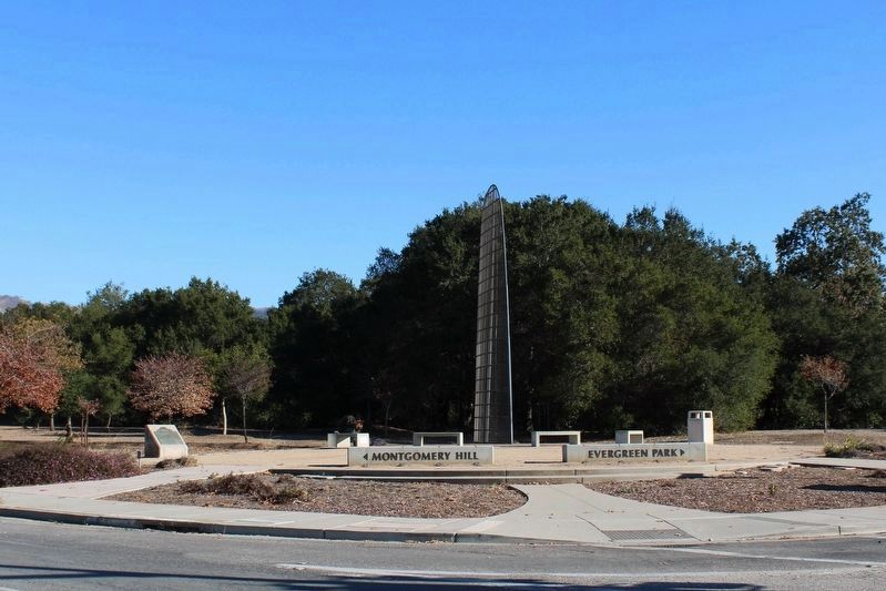
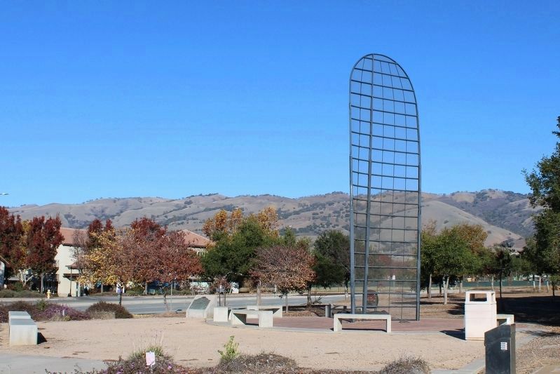
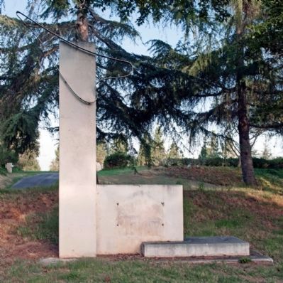
Location. 37° 17.962′ N, 121° 46.249′ W. Marker is in San Jose, California, in Santa Clara County. It is in Estates. Marker is at the intersection of Yerba Buena Road and San Felipe Road, on the right when traveling east on Yerba Buena Road. Plaque is located next to the Evergreen Aviation Monument. Touch for map. Marker is in this post office area: San Jose CA 95135, United States of America. Touch for directions.
Other nearby markers. At least 8 other markers are within 4 miles of this marker, measured as the crow flies. Settler’s Grove (approx. half a mile away); Francis J. Smith House (approx. 1.1 miles away); Rockin’ M Ranch (approx. 2.4 miles away); IBM Building 025 (approx. 3.6 miles away); Frontier Village (approx. 3.7 miles away); Hayes Mansion (approx. 3.7 miles away); New Almaden Quicksilver Mine (approx. 3.7 miles away); a different marker also named Hayes Mansion (approx. 3.7 miles away). Touch for a list and map of all markers in San Jose.
Additional commentary.
1. Montgomery Hill Monument Time Capsule
This may be odd, but when I was a child I was given an "honorary reservation" invitation by Richard Nieman to the opening of a time capsule in this year, 2011. It reads as follows:
Honorary Reservation on the occasion of public celebration of the 100th year following the last flight on October 31, 1911 of John Joseph Montgomery on Montgomery Hill, San Jose, California. Please accord bearer a time capsule scroll signatory during the John Joseph Montgomery Commemorative Ceremony at the site of the Montgomery Hill Monument, Registered California Historical Landmark No. 813, Evergreen Valley College Amphitheatre (sic), San Jose. [More similar language here. Then, finally...] A Place of Honor at the ceremony of the opening of the time capsule in the year 2011.
This is signed by Richard E Nieman, the coordinator of ceremonies for commemoration of John Joseph Montgomery.
So, does anyone else know about this time capsule?
Editors Note: Thank you for sharing this information. It is a remarkable piece of history in itself. We suggest that you contact the Evergreen Community College as they may have information on the opening of the time capsule.
— Submitted January 30, 2011, by Alene Lamb of San Francisco, California.
2. Relocated
The marker was previously located off Valle Del Lago at Yerba Buena Road (37° 17.886′ N, 121° 45.642′ W). It was now located on Yerba Buena Road at San Felipe Road, next to the Evergreen Aviation Monument.
— Submitted November 29, 2022, by Joseph Alvarado of Livermore, California.
Additional keywords. Aeronautics, Gliders, Man-Powered Flight
Photographed By Mathew H. Kohnen, November 10, 2007
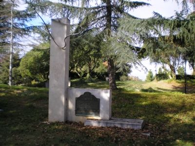
6. Montgomery Hill Marker
This marker now contains the state Historic Landmarks plaque for Montgomery Hill. A small park is currently under construction at the intersection of San Felipe and Yerba Buena Rds. The plaque may be moved to this location when the park is completed.
Photographed By Mathew H. Kohnen, November 12, 2007
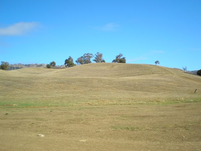
7. Montgomery Hill
On this site, John Montgomery, one of the pioneers of maned flight, conducted 55 successful flights of the "aeroplane." A small regional park is now located here.
Note:Use caution when hiking the parks trails or walking small pets. The area borders a wilderness area and is identified as a Mountain Lion habitat.
Credits. This page was last revised on February 7, 2023. It was originally submitted on November 17, 2007, by Mathew H. Kohnen of San Jose, California. This page has been viewed 3,594 times since then and 80 times this year. Last updated on April 15, 2008, by Bill Langlois of San Jose, California. Photos: 1. submitted on November 17, 2007, by Mathew H. Kohnen of San Jose, California. 2, 3, 4, 5. submitted on November 29, 2022, by Joseph Alvarado of Livermore, California. 6, 7. submitted on November 17, 2007, by Mathew H. Kohnen of San Jose, California. 8. submitted on October 8, 2014, by Alvis Hendley of San Francisco, California. • Craig Swain was the editor who published this page.
