Englewood in Bergen County, New Jersey — The American Northeast (Mid-Atlantic)
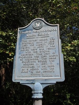
English Neighborhood Union School
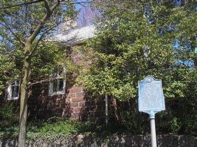
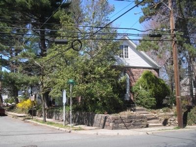
This former school was originally built in 1818 near the Liberty Pole Tavern. In 1850 it was moved here and rebuilt with the original materials. This part of Englewood was then known as Highwood. The name Englewood School was adopted in 1897. It continued to be used as a school until the close of the century.
the Contempory Club Of Englewood, 1964
Erected 1964 by Bergen County Historical Society. (Marker Number 8.)
Topics and series. This historical marker is listed in this topic list: Education. In addition, it is included in the New Jersey, Bergen County Historical Society series list. A significant historical year for this entry is 1818.
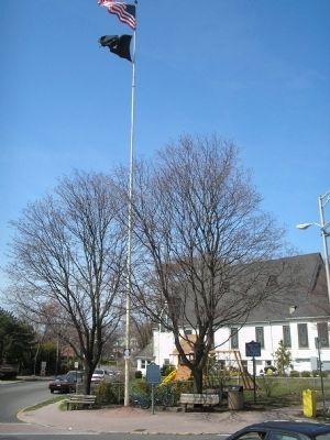
Location. 40° 54.736′ N, 73° 58.343′ W. Marker is in Englewood, New Jersey, in Bergen County. Marker is at the intersection of Tenafly Road and Pleasant Ave, on the left when traveling north on Tenafly Road. Touch for map. Marker is at or near this postal address: 484 Tenafly Road, Englewood NJ 07631, United States of America. Touch for directions.
Other nearby markers. At least 8 other markers are within 2 miles of this marker, measured as the crow flies. Brookside Chapel (approx. half a mile away); Roelof Westervelt House (approx. 0.6 miles away); British & Hessian Invasion (approx. 0.7 miles away); The Tenafly Railroad Station (approx. 0.9 miles away); Saint Paul’s Episcopal Church (approx. 1.1 miles away); Everett-Dunn House (approx. 1.1 miles away); Liberty Pole (approx. 1.2 miles away); a different marker also named Liberty Pole (approx. 1.2 miles away). Touch for a list and map of all markers in Englewood.
Also see . . . Bergen County Historical Society. Society website homepage (Submitted on April 15, 2008, by Bill Coughlin of Woodland Park, New Jersey.)
Credits. This page was last revised on December 12, 2021. It was originally submitted on April 15, 2008, by Bill Coughlin of Woodland Park, New Jersey. This page has been viewed 2,373 times since then and 37 times this year. Photos: 1, 2, 3, 4. submitted on April 15, 2008, by Bill Coughlin of Woodland Park, New Jersey. • Christopher Busta-Peck was the editor who published this page.


