Pintlala in Montgomery County, Alabama — The American South (East South Central)
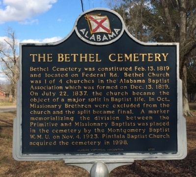
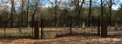
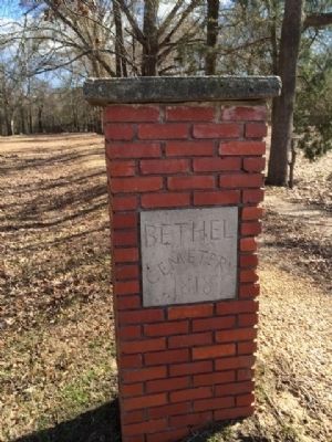
The Bethel Cemetery
Erected 2000 by the Alabama Historical Association.
Topics and series. This historical marker is listed in these topic lists: Cemeteries & Burial Sites • Churches & Religion. In addition, it is included in the Alabama Historical Association series list. A significant historical month for this entry is July 1848.
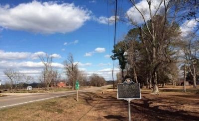
Location. 32° 11.161′ N, 86° 21.81′ W. Marker is in Pintlala, Alabama, in Montgomery County. Marker is at the intersection of Mobile Highway (U.S. 31) and Windham Road, on the right when traveling north on Mobile Highway. Touch for map. Marker is at or near this postal address: 13086 US 31, Hope Hull AL 36043, United States of America. Touch for directions.
Other nearby markers. At least 8 other markers are within 8 miles of this marker, measured as the crow flies. Federal Road, 1805, (approx. ¾ mile away); Pintlala Grange Hall / Grange Hall School (approx. ¾ mile away); Pintlala School (approx. 0.8 miles away); The Federal Road / Manac's Tavern (approx. 1½ miles away); Tankersley Rosenwald School (approx. 3 miles away); Abner McGehee / Early Alabama Entrepreneur (approx. 5 miles away); Teague Road (approx. 6.4 miles away); a different marker also named Teague Road (approx. 7.1 miles away). Touch for a list and map of all markers in Pintlala.
Credits. This page was last revised on July 25, 2018. It was originally submitted on January 21, 2014, by Mark Hilton of Montgomery, Alabama. This page has been viewed 908 times since then and 94 times this year. Photos: 1, 2, 3, 4. submitted on January 21, 2014, by Mark Hilton of Montgomery, Alabama. • Bernard Fisher was the editor who published this page.


