Wallula in Walla Walla County, Washington — The American West (Northwest)
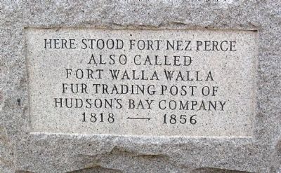
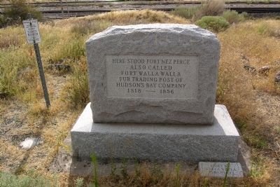
Here Stood Fort Nez Perce
Also Called
Fort Walla Walla
Fur Trading Post of
Hudson's Bay Company
1818 — 1856
Erected by Walla Walla Kiwanians.
Topics. This historical marker is listed in these topic lists: Forts and Castles • Industry & Commerce • Native Americans. A significant historical year for this entry is 1818.
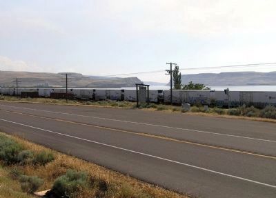
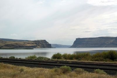
Location. 46° 5.07′ N, 118° 54.577′ W. Marker is in Wallula, Washington, in Walla Walla County. Marker is on U.S. 12, 0.2 miles north of Columbia Way, on the right when traveling south. Touch for map. Marker is in this post office area: Wallula WA 99363, United States of America. Touch for directions.
Other nearby markers. At least 7 other markers are within 11 miles of this marker, measured as the crow flies. Fort Nez Percés / Fort Walla Walla (here, next to this marker); Fort Walla Walla (a few steps from this marker); The History of Wallula (approx. 2.4 miles away); a different marker also named The History of Wallula (approx. 2.4 miles away); Lewis and Clark Trail (approx. 10.3 miles away); Ainsworth (approx. 10.8 miles away); Sacagawea (approx. 10.8 miles away).
Also see . . . Fort Nez Percés. Wikipedia entry (Submitted on February 1, 2014.)
Credits. This page was last revised on October 27, 2022. It was originally submitted on January 29, 2014, by Duane Hall of Abilene, Texas. This page has been viewed 647 times since then and 25 times this year. Photos: 1, 2. submitted on January 29, 2014, by Duane Hall of Abilene, Texas. 3. submitted on August 18, 2010, by PaulwC3 of Northern, Virginia. 4. submitted on January 29, 2014, by Duane Hall of Abilene, Texas.


