Rancho Santa Fe in San Diego County, California — The American West (Pacific Coastal)
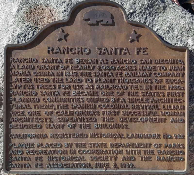
Rancho Santa Fe
Erected 1989 by State Department of Parks and Recreation In Cooperation with The Rancho Santa Fe Historical Society and The Rancho Santa Fe Association. (Marker Number 982.)
Topics and series. This historical marker is listed in these topic lists: Notable Places • Settlements & Settlers. In addition, it is included in the California Historical Landmarks series list. A significant historical year for this entry is 1845.
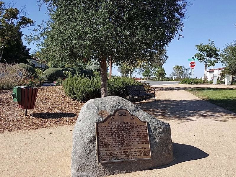
Location. 33° 1.139′ N, 117° 12.221′ W. Marker is in Rancho Santa Fe, California, in San Diego County. Marker can be reached from Avenida de Acacias just north of La Gracia, on the right when traveling north. Touch for map. Marker is in this post office area: Rancho Santa Fe CA 92091, United States of America. Touch for directions.
Other nearby markers. At least 8 other markers are within 9 miles of this marker, measured as the crow flies. Olivenhain Meeting Hall (approx. 2½ miles away); Stagecoach Park (approx. 4.3 miles away); Johnson-Taylor Adobe Ranch House (approx. 7 miles away); Leo Carrillo Ranch (approx. 7.3 miles away); Veterans Memorial (approx. 7.3 miles away); Torrey Pines Lodge (approx. 7.4 miles away); Ellen Browning Scripps (approx. 7.4 miles away); Mule Hill (approx. 8.2 miles away).
Credits. This page was last revised on May 4, 2020. It was originally submitted on February 12, 2014, by Drew W of Vista, California. This page has been viewed 532 times since then and 23 times this year. Photos: 1, 2. submitted on May 3, 2020, by Craig Baker of Sylmar, California. • Syd Whittle was the editor who published this page.

