Near La Junta in Otero County, Colorado — The American Mountains (Southwest)
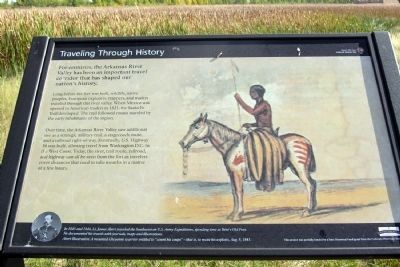
Traveling Through History
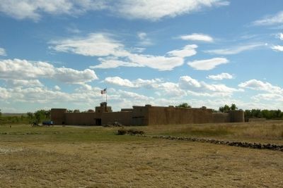
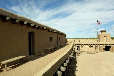
Bent's Old Fort National Historic Site
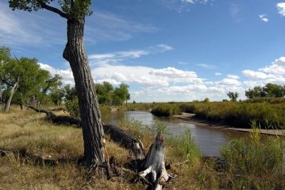
Long before the fort was built, wildlife, native peoples, European explorers, trappers, and traders traveled through this river valley. When Mexico was opened to American traders in 1821, the Santa Fe Trail developed. The trail followed routes traveled by the early inhabitants of the region.
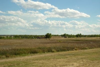
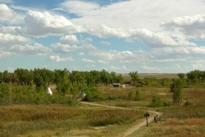
Over time, the Arkansas River Valley saw additional use as a strategic military trail, a stagecoach route, and a railroad right-of-way. Eventually, U.S. Highway 50 was built, allowing travel from Washington D.C. to the West Coast. Today, the river, trail route, railroad, and highway can all be seen from the fort as travelers cover distances that used to take months in a matter of a few hours.
In 1845 and 1846, Lt. James Abert traveled the Southwest on U.S. Army Expeditions, spending time at Bentís Old Fort. He documented his travels with journals, maps and illustrations.
Abert Illustration: A mounted Cheyenne warrior entitled to “count his coups” – that is, to recite his exploits, Aug. 9, 1845.
Erected by National Park Service.
Topics. This historical marker is listed in these topic lists: Forts and Castles • Industry & Commerce • Native Americans • Roads & Vehicles. A significant historical date for this entry is August 9, 1846.
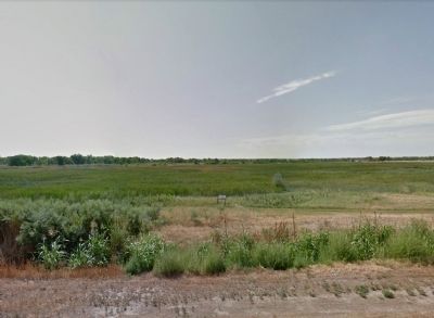
Location. 38° 2.797′ N, 103° 25.775′ W. Marker is near La Junta, Colorado, in Otero County. Marker is on State Highway 194, 0.3 miles east of County Road 35, on the right when traveling east. Marker is located in Bentís Old Fort National Historic Site and may be viewed from the Bentís Old Fort hiking trail 0.3 miles northeast of the parking lot; the driveway to the Bentís Old Fort parking lot is located 0.2 miles west of the marker. Touch for map. Marker is in this post office area: La Junta CO 81050, United States of America. Touch for directions.
Other nearby markers. At least 8 other markers are within walking distance of this marker. Santa Fe Trail (about 400 feet away, measured in a direct line); Bent's Fort on Santa Fe Trail (about 400 feet away); Trading Post on the Trail (approx. ľ mile away); Welcome to the Borderlands (approx. ľ mile away); A Babel-Tongued Multitude (approx. ľ mile away); An Adobe Outpost (approx. ľ mile away); No Fur, No Fort (approx. ľ mile away); Mountain Men to Merchants (approx. ľ mile away). Touch for a list and map of all markers in La Junta.
Also see . . .
1. Bent's Old Fort National Historic Site
. Official National Park Service website. (Submitted on February 18, 2014.)
2. Bent's Old Fort National Historic Site - Wikipedia entry. (Submitted on February 18, 2014.)
Credits. This page was last revised on June 16, 2016. It was originally submitted on February 18, 2014, by Duane Hall of Abilene, Texas. This page has been viewed 527 times since then and 7 times this year. Photos: 1, 2, 3, 4, 5, 6, 7. submitted on February 18, 2014, by Duane Hall of Abilene, Texas.
Editor’s want-list for this marker. Photo of wide-view of marker and surroundings. • Can you help?
