Dorchester in Dorchester County, South Carolina — The American South (South Atlantic)
Dorchester
(side 1)
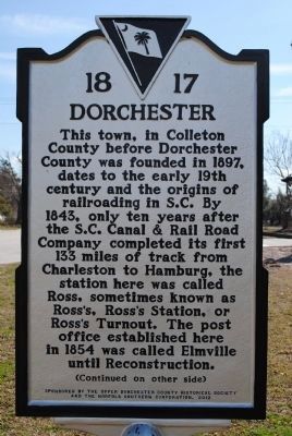
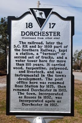
This town, in Colleton County before Dorchester County was founded in 1897, dates to the early 19th century and the origins of railroading in S.C. By 1843, only ten years after the S.C. Canal & Rail Road Company completed its first 133 miles of track from Charleston to Hamburg, the station here was called Ross, sometimes known as Ross's, Ross's Station, or Ross's Turnout. The post office established here in 1854 was called Elmville until Reconstruction.
Erected 2012 by The Upper Dorchester County Historical Society and the Norfolk Southern Corporation. (Marker Number 1817.)
Topics and series. This historical marker is listed in these topic lists: Railroads & Streetcars • Settlements & Settlers. In addition, it is included in the Postal Mail and Philately series list. A significant historical year for this entry is 1897.
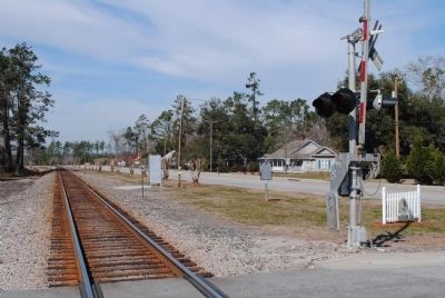
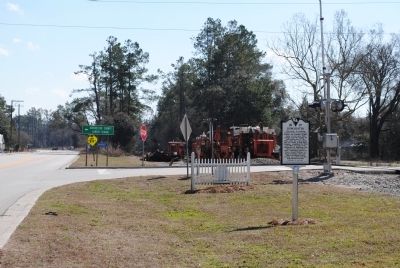
Location. 33° 8.332′ N, 80° 23.745′ W. Marker is in Dorchester, South Carolina, in Dorchester County. Marker is at the intersection of U.S. 78 and School House Road (County Route S-18), on the right when traveling east on U.S. 78. Touch for map. Marker is in this post office area: Dorchester SC 29437, United States of America. Touch for directions.
Other nearby markers. At least 8 other markers are within 7 miles of this marker, measured as the crow flies. Four Holes Swamp Bridge / Harley's Tavern (approx. 2˝ miles away); Four Holes Swamp (approx. 2˝ miles away); Revolutionary War Cannon (approx. 2˝ miles away); Moorefield Memorial Highway, (Southern Terminus) (approx. 2.6 miles away); Berkeley County (approx. 4.9 miles away); Ridgeville (approx. 5˝ miles away); Harleyville (approx. 6 miles away); St. Paul Camp Ground (approx. 6.8 miles away). Touch for a list and map of all markers in Dorchester.
Credits. This page was last revised on June 16, 2016. It was originally submitted on February 20, 2014, by Dean Moss McCracken of Lakeland, Florida. This page has been viewed 621 times since then and 27 times this year. Photos: 1, 2, 3, 4. submitted on February 20, 2014, by Dean Moss McCracken of Lakeland, Florida. • Bernard Fisher was the editor who published this page.


