Near Jackson in Amador County, California — The American West (Pacific Coastal)
University of California Foothill Field Station
1888 – 1903
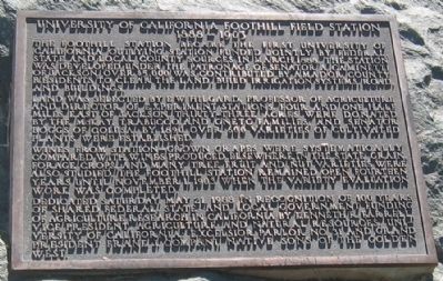
Inscription.
The Foothill Station became the first University of California qualifying outlying station funded jointly by federal, state and local county sources in March 1888. The station was developed under the patronage of Senator A. Caminetti of Jackson. Over $5,000 was contributed by Amador County residents to clear the land, built irrigation systems, road, and buildings.
Land was selected by E. W. Hilgard, Professor of Agriculture and Director of Experiment Stations. Four and one half miles east of Jackson, thirty-three acres were donated by the McKay Trabuccola and Oneto Families, and Senator Boggs of Colusa. By 1890 over 600 varieties of cultivated plants were established.
Wines from station-owned grapes were systematically compared with wines produced elsewhere in the state. Grain forage crops and many tree fruit and nut varieties were also studied. The Foothill Station remained open for fourteen years until November 1, 1903 when the variety evaluation work was completed.
Dedicated Saturday May 21, 1988 in recognition of 100 years of shared federal, state and local government funding of agricultural research in California.
Erected 1988 by Kenneth R. Farrell, Vice President Agriculture and Natural Resources, University of California, Excelsior Parlor No.31 and Grand President Frank J. Companu, Native Sons of the Golden West.
Topics and series. This historical marker is listed in these topic lists: Agriculture • Education • Horticulture & Forestry • Industry & Commerce. In addition, it is included in the Native Sons/Daughters of the Golden West series list. A significant historical month for this entry is March 1888.
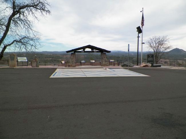
Location. 38° 21.883′ N, 120° 47.228′ W. Marker is near Jackson, California, in Amador County. Marker can be reached from State Highway 49, on the right when traveling south. Marker is located at the rest area across from the Kennedy Mine, 1.6 miles north of the town of Jackson. Touch for map. Marker is in this post office area: Jackson CA 95642, United States of America. Touch for directions.
Other nearby markers. At least 8 other markers are within walking distance of this marker. Argonaut and Kennedy Mines (here, next to this marker); Amador County Veterans' Memorial (here, next to this marker); Argonaut Mine (a few steps from this marker); The Kennedy Mine / The Argonaut Mine (a few steps from this marker); Jackson (a few steps from this marker); Anthony Caminetti (within shouting distance of this marker); Kennedy Mining and Milling Company (approx. 0.4 miles away); Kennedy Mine Headframe (approx. 0.4 miles away). Touch for a list and map of all markers in Jackson.

Photographed By James King, January 26, 2014
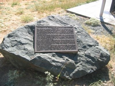
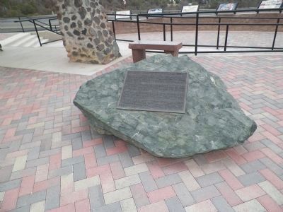
4. University of California Foothill Field Station Monument
This monument is the second boulder from the right. The first boulder on the right, in front of the black slab of the veteran's memorial, is the Argonaut and Kennedy Mines monument. To the extreme left is the stele of the Jackson monument and a few feet to the right of it is the boulder of the Argonaut Mine monument.
Credits. This page was last revised on June 16, 2016. It was originally submitted on October 29, 2008, by Syd Whittle of Mesa, Arizona. This page has been viewed 1,801 times since then and 26 times this year. Last updated on March 2, 2014, by James King of San Miguel, California. Photos: 1, 2. submitted on October 29, 2008, by Syd Whittle of Mesa, Arizona. 3, 4. submitted on March 3, 2014, by James King of San Miguel, California.


