Laurel in Prince George's County, Maryland — The American Northeast (Mid-Atlantic)
Riverfront Park
Riverfront Park Heritage & Nature Trail
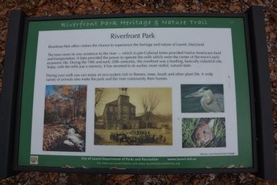
Riverfront Park offers visitors the chance to experience the heritage and nature of Laurel, Maryland.
The town owes its very existence to the river - which in pre-Colonial times provided Native Americans food and transportation. It later provided the power to operate the mills which were the center of the town's early economic life. During the 19th and 20th centuries, the riverfront was a bustling, basically industrial site. Today, with the mills just a memory, it has reverted to its earlier, more restful, natural state.
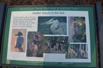
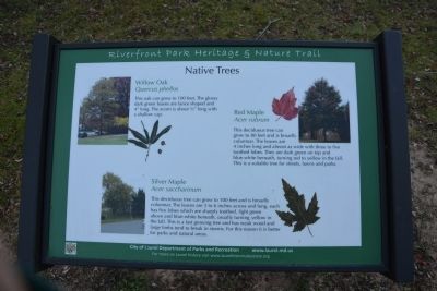
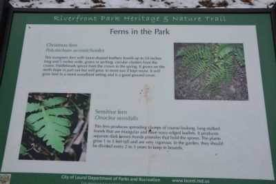
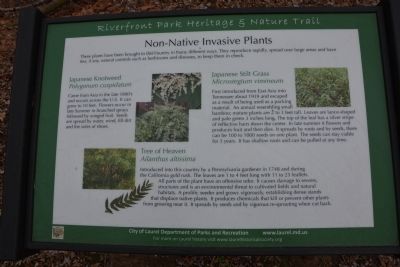
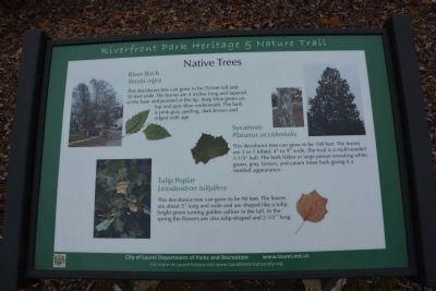
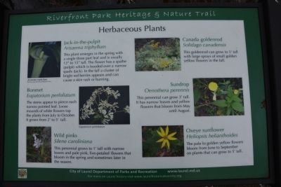
During your walk you can enjoy an eco-system rich in flowers, trees, brush and other plant life. A wide variety of animals also make the park and the river community their homes.
Erected by City of Laurel.
Topics. This historical marker is listed in this topic list: Settlements & Settlers.
Location. 39° 6.458′ N, 76° 50.743′ W. Marker is in Laurel, Maryland, in Prince George's County. The marker is in Laurel's Riverfront Park Heritage & Nature Trail, just south of the Patuxent River. There is a parking lot at the north end of 4th and Avondale Streets, and the marker is in that section of the park. Touch for map. Marker is in this post office area: Laurel MD 20707, United States of America. Touch for directions.
Other nearby markers. At least 8 other markers are within walking distance of this marker. Avondale Mill: A Lost Treasure (a few steps from this marker); Patuxent River (within shouting distance of this marker); Avondale Mill (within shouting distance of this marker); Site of Laurel's Civil War Hospital (approx. 0.2 miles away); An Angel Among US (approx. 0.2 miles away); First United Methodist Church of Laurel (approx. 0.2 miles away); Laurel: Half-way between Baltimore and Washington (approx. ¼ mile away); A “Little Dam” Powers the Avondale Mill (approx. ¼ mile away). Touch for a list and map of all markers in Laurel.
Also see . . .
1. Riverfront Park. City of Laurel website entry (Submitted on March 3, 2014, by A. Taylor of Laurel, Maryland.)
2. A Walk in the Park – Sampling Laurel's Riverfront Nature Trail. Patch website entry (Submitted on March 4, 2024, by Larry Gertner of New York, New York.)
Credits. This page was last revised on March 19, 2024. It was originally submitted on March 3, 2014, by A. Taylor of Laurel, Maryland. This page has been viewed 567 times since then and 62 times this year. Photos: 1, 2, 3, 4, 5, 6, 7, 8, 9, 10. submitted on March 3, 2014, by A. Taylor of Laurel, Maryland. • Bill Pfingsten was the editor who published this page.
