Near Parkers Crossroads in Henderson County, Tennessee — The American South (East South Central)
The Battle of Parker's Crossroads
Tour Stop 4
— Jones Cemetery and the Old Dug Well —
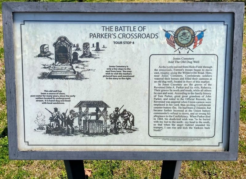
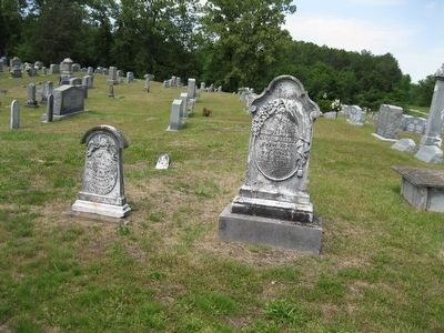
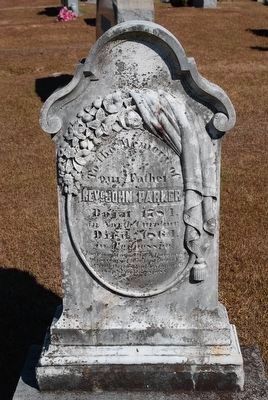
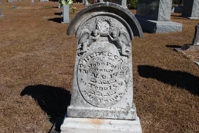
In Jones Cemetery are the graves of the Reverend John A. Parker and his wife Rebecca. Their graves lie north and south, while all others lie east and west. According to the family history of Tom Parker, great great grandson of John Parker, and noted in the Official Records, the Reverend was angered when Union cannon were emplaced in his yard, thus inviting Confederate counter-battery fire. He had been a Unionist, but became further incensed at the Union battery commander's refusal to move, and so swung his allegiance to the Confederacy. When Parker died in 1864, his death-bed wish was "to be buried with my feet to the north - my head to the south, so that when the angel Gabriel sounded his trumpet, I can rise and kick the Yankees back North!"
Topics. This historical marker is listed in this topic list: War, US Civil. A significant historical year for this entry is 1864.
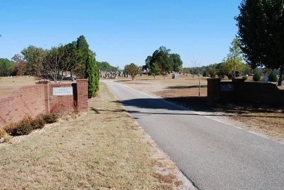
Location. 35° 47.55′ N, 88° 22.856′ W. Marker is near Parkers Crossroads, Tennessee, in Henderson County. Marker is on Wildersville Road (or Bluegrass Lane), 0.6 miles east of State Route 22, on the left when traveling east. The marker is on the access road to the Old Jones Cemetery beside a parking strip for about 10 cars. Touch for map. Marker is in this post office area: Wildersville TN 38388, United States of America. Touch for directions.
Other nearby markers. At least 8 other markers are within walking distance of this marker. Forrest Seizes the Advantage (approx. ¼ mile away); Dunham Strikes Back (approx. ¼ mile away); A Fire Terrible In Its Intensity (approx. ¼ mile away); Dibrell's Position (approx. 0.3 miles away); Enfilading the Line (approx. 0.3 miles away); Forrest's Big Show (approx. 0.3 miles away); Forrest's Artillery Leads the Attack (approx. 0.4 miles away); Forrest's Artillery (approx. 0.4 miles away). Touch for a list and map of all markers in Parkers Crossroads.
Regarding The Battle of Parker's Crossroads.
This marker has the following drawings:
Jones Cemetery is only a few steps to the east from here. You may wish to visit the markers pictured here and mentioned in the story to the right. Note: The Jones Cemetery is actually about 200 feet north of the marker. The Parker tombstones are at 35.793231N, 88.380386W
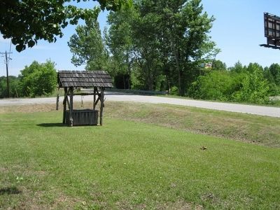
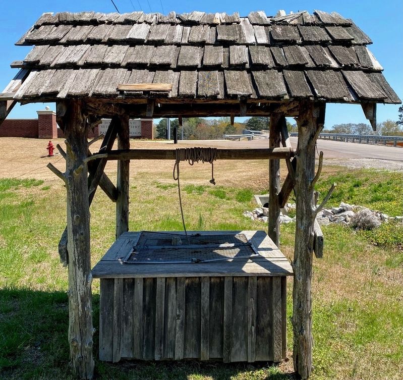
The old well has been a source of clean, pure water for many years, since the early settlers located its underground stream. It is hand-dug and lined with local sandstone.
Credits. This page was last revised on June 2, 2021. It was originally submitted on January 2, 2013, by David Graff of Halifax, Nova Scotia. This page has been viewed 745 times since then and 22 times this year. Last updated on March 10, 2014, by David Graff of Halifax, Nova Scotia. Photos: 1. submitted on May 28, 2021, by Shane Oliver of Richmond, Virginia. 2, 3. submitted on January 2, 2013, by David Graff of Halifax, Nova Scotia. 4. submitted on August 22, 2015, by Brandon Fletcher of Chattanooga, Tennessee. 5. submitted on May 28, 2021, by Shane Oliver of Richmond, Virginia. 6. submitted on January 2, 2013, by David Graff of Halifax, Nova Scotia. 7, 8. submitted on August 22, 2015, by Brandon Fletcher of Chattanooga, Tennessee. • Bill Pfingsten was the editor who published this page.
