New Milford in Bergen County, New Jersey — The American Northeast (Mid-Atlantic)
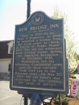
New Bridge Inn
1739 – 1964
Built in 1739-40 by Peter P. Demarest. In 1766 he received a license from the local court to “keep a Tavern or Public House” here. The old inn witnessed many stirring events during the American Revolution.
In November 1776, Washington led his retreating Continental army past its door enroute from Fort Lee to the Delaware River. On May 30, 1964, the old tavern was destroyed by fire, ending 198 years of service.
Sponsored by the New Milford Woman’s Club
Erected by Bergen County Historical Society. (Marker Number 28.)
Topics and series. This historical marker is listed in these topic lists: Colonial Era • War, US Revolutionary. In addition, it is included in the New Jersey, Bergen County Historical Society series list. A significant historical month for this entry is May 1735.
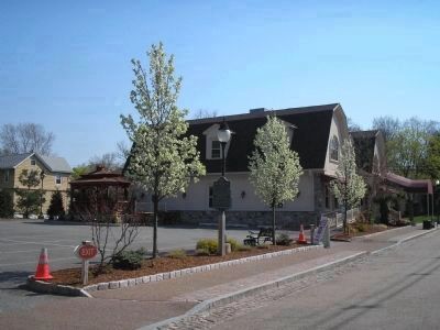
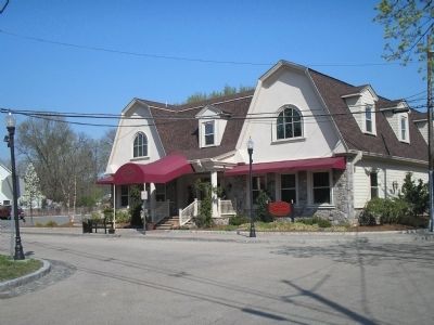
Location. 40° 54.859′ N, 74° 1.706′ W. Marker is in New Milford, New Jersey, in Bergen County. Marker is at the intersection of Old New Bridge Road and Roosevelt Avenue, on the right when traveling east on Old New Bridge Road. Marker is in the parking lot of the Sanzari's New Bridge Inn Restaurant. Touch for map. Marker is at or near this postal address: 105 Old New Bridge Road, New Milford NJ 07646, United States of America. Touch for directions.
Other nearby markers. At least 8 other markers are within walking distance of this marker. Historic New Bridge Landing (a few steps from this marker); Brett Park / New Bridge Area (about 400 feet away, measured in a direct line); New Bridge (about 400 feet away); Cattails = Clay (about 400 feet away); These are the times that try men’s souls . . . (about 400 feet away); a different marker also named New Bridge (about 600 feet away); Timeline of Events at New Bridge in the American Revolution (about 600 feet away); New Bridge Landing (about 600 feet away). Touch for a list and map of all markers in New Milford.
Also see . . .
1. Bergen County Historical Society. Society website homepage (Submitted on April 20, 2008, by Bill Coughlin of Woodland Park, New Jersey.)
2. Washington's Retreat Through Jersey. (Submitted on April 20, 2008, by Bill Coughlin of Woodland Park, New Jersey.)

Photographed By Bill Coughlin, April 19, 2008
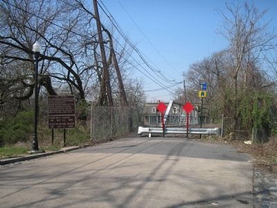
4. New Bridge Landing
The marker is a short distance from New Bridge Landing, where Gen. George Washington and the Continental army crossed the Hackensack River on their retreat across New Jersey in 1776. This photo shows where the army crossed the river.
Credits. This page was last revised on December 13, 2021. It was originally submitted on April 20, 2008, by Bill Coughlin of Woodland Park, New Jersey. This page has been viewed 2,485 times since then and 80 times this year. Photos: 1, 2, 3, 4. submitted on April 20, 2008, by Bill Coughlin of Woodland Park, New Jersey. • Kevin W. was the editor who published this page.


