Mesa Verde National Park in Montezuma County, Colorado — The American Mountains (Southwest)
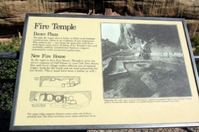
Fire Temple
Dance Plaza
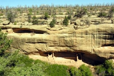
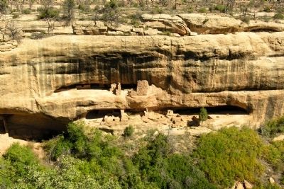
Though the large alcove below is filled with Puebloan construction, there is no evidence of any habitation. The central pit – too large for domestic cook fires – held layer upon layer of ashes. Fire Temple’s size and carefully crafted, symmetrical features suggest community-wide ceremonial gathers.
New Fire House
To the right is New Fire House. Though it lacks the alcove expanse of Cliff Palace or even Oak Tree House, this split-level village makes efficient use of natural ledges. Look for the hand and toe trail connecting the two levels. (There must have been a ladder as well.)
(Left Graphic Caption)
The upper ledge supports thirteen rooms and a set of three grinding bins. The lower level has seven rooms and three kivas.
(Right Photo Caption)
Originally the walls were covered with human, animal, and geometric figures painted red on white plaster. Present-day Hopi Indians use similar designs in their seasonal ceremonies.
Erected by National Park Service.
Topics. This historical marker is listed in these topic lists: Native Americans • Settlements & Settlers.
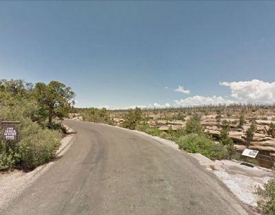
Location. 37° 9.884′ N, 108° 28.752′ W. Marker is in Mesa Verde National Park, Colorado, in Montezuma County. Marker is on Mesa Top Loop (State Highway 10), on the right when traveling north. Marker is located at the Fire Temple - New Fire House pullout on Mesa Top Loop. Touch for map. Marker is in this post office area: Mesa Verde National Park CO 81330, United States of America. Touch for directions.
Other nearby markers. At least 8 other markers are within walking distance of this marker. Oak Tree House (within shouting distance of this marker); Cliff Dwelling Life (approx. 0.2 miles away); Ties that Bind (approx. 0.2 miles away); Time of Transition (approx. 0.2 miles away); Years of Activity (approx. ¼ mile away); Years of Change (approx. ¼ mile away); Split-Level History (approx. 0.3 miles away); Pithouse Life (approx. 0.3 miles away). Touch for a list and map of all markers in Mesa Verde National Park.
Also see . . . Mesa Verde National Park. Official National Park Service website. (Submitted on March 24, 2014.)
Credits. This page was last revised on June 16, 2016. It was originally submitted on March 24, 2014, by Duane Hall of Abilene, Texas. This page has been viewed 566 times since then and 13 times this year. Photos: 1, 2, 3, 4. submitted on March 24, 2014, by Duane Hall of Abilene, Texas.
Editor’s want-list for this marker. Photo of wide-view of marker and surroundings. • Can you help?


