Marker Logo HMdb.org THE HISTORICAL
MARKER DATABASE
“Bite-Size Bits of Local, National, and Global History”
Alamogordo in Otero County, New Mexico — The American Mountains (Southwest)
 

Dog Canyon

(Cañon Del Perro)


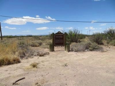
Dog Canyon Marker image. Click for full size.
Photographed By Maribeth Robison, March 30, 2013
1. Dog Canyon Marker
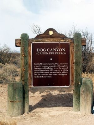
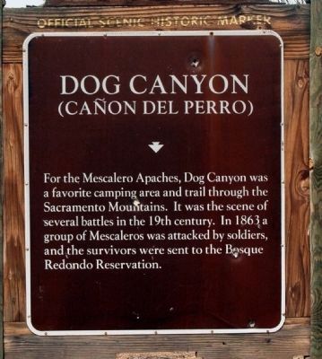
Inscription. For the Mescalero Apache, Dog Canyon was a favorite camping area and trail through the Sacramento Mountains. It was the scene of several battles in the 19th century. In 1863 a group of Mescaleros was attacked by soldiers, and the survivors were sent to the Bosque Redondo Reservation.
 
Topics. This historical marker is listed in these topic lists: Native AmericansNotable Places. A significant historical year for this entry is 1863.
 
Location. 32° 44.566′ N, 105° 59.301′ W. Marker is in Alamogordo, New Mexico, in Otero County. Marker is at the intersection of State Road 54 and Dog Canyon Road, on the right when traveling south on State Road 54. Touch for map. Marker is in this post office area: Alamogordo NM 88310, United States of America. Touch for directions.
 
Other nearby markers. At least 3 other markers are within 12 miles of this marker, measured as the crow flies. Commission for the Blind Orientation Center (approx. 10.6 miles away); The Fightin' 49ers Mission (approx. 11 miles away); New Mexico School for the Blind and Visually Impaired (approx. 11.9 miles away).
 
Paid Advertisement
Click on the ad for more information.
Please report objectionable advertising to the Editor.
Click or scan to see
this page online
Dog Canyon Marker image. Click for full size.
Photographed By Bill Kirchner, April 27, 2014
2. Dog Canyon Marker
Dog Canyon Marker image. Click for full size.
Photographed By Maribeth Robison, March 30, 2013
3. Dog Canyon Marker
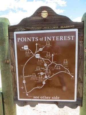
Rear of Dog Canyon Marker image. Click for full size.
Photographed By Bill Kirchner, April 27, 2014
4. Rear of Dog Canyon Marker
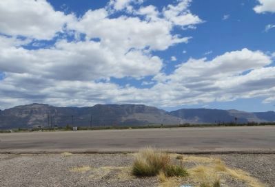
Sacramento Mountains image. Click for full size.
Photographed By Bill Kirchner, April 27, 2014
5. Sacramento Mountains
View east from marker location.
 
 
Credits. This page was last revised on June 16, 2016. It was originally submitted on April 1, 2014, by Maribeth Robison of Moriarty, New Mexico. This page has been viewed 1,122 times since then and 84 times this year. Photos:   1. submitted on April 14, 2014, by Maribeth Robison of Moriarty, New Mexico.   2. submitted on May 4, 2014, by Bill Kirchner of Tucson, Arizona.   3. submitted on April 1, 2014, by Maribeth Robison of Moriarty, New Mexico.   4, 5. submitted on May 4, 2014, by Bill Kirchner of Tucson, Arizona. • Syd Whittle was the editor who published this page.
Share this page.  
Share on Tumblr
m=72719

CeraNet Cloud Computing sponsors the Historical Marker Database.
This website earns income from purchases you make after using our links to Amazon.com. We appreciate your support.
Paid Advertisement
Apr. 17, 2024