16th Street Heights in Northwest Washington in Washington, District of Columbia — The American Northeast (Mid-Atlantic)
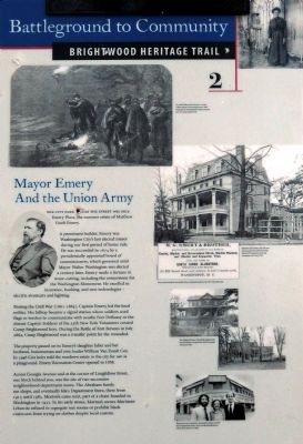
Mayor Emery and the Union Army
Battleground to Community
— Brightwood Heritage Trail —
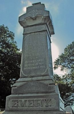
The City Park across the street was once Emery Place, the summer estate of Matthew Gault Emery.
A prominent builder, Emery was Washington City's last elected mayor during the period of home rule. He was succeeded in 1874 by a presidentially appointed board of commissioners, which governed until Mayor Walter Washington was elected a century later. Emery made a fortune in stone-cutting, including cornerstone for the Washington Monument. He excelled in insurance, banking, and new technologies -- electric streetcars and lighting.
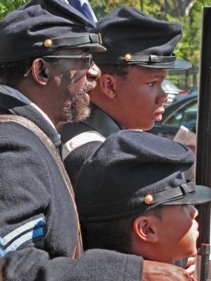
During the Civil War (1861-1865), Captain Emery led the local militia. His hilltop became a signal station where soldiers used flags or torches to communicate with nearby Fort DeRussy or the distant Capitol. Soldiers of the 35th New York Volunteers created Camp Brightwood here. During the Battle of Fort Stevens in July 1864, Camp Brightwood was a transfer point for the wounded
The property passed on to Emery's daughter Juliet and her husband, businessman and civic leader William Van Zandt Cox. In 1946 Cox heirs sold the rundown estate to the city for use as a playground. Emery Recreation Center opened in 1959.
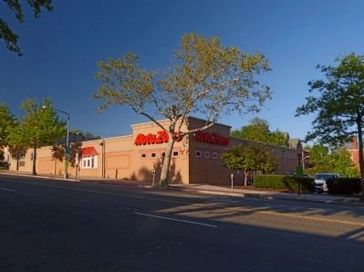
Across Georgia Avenue at the corner of Longfellow Street, one block behind you, was the site of two successive neighborhood department stores. The Abraham family ran shops, and eventually Ida's Department Store, there from 1915 until 1983. Morton's came next, part of a chain founded in Washington in 1933. In his early stores, Morton's owner Mortimer Lebowitz refused to segregate rest rooms or prohibit black customers from trying on clothes despite local custom.
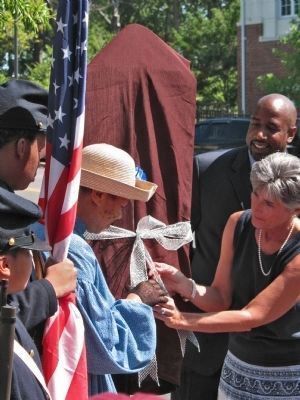
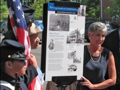
Erected 2008 by Cultural Tourism DC. (Marker Number 2.)
Topics and series. This historical marker is listed in these topic lists: African Americans • Government & Politics • Industry & Commerce • War, US Civil. In addition, it is included in the Brightwood Heritage Trail series list. A significant historical month for this entry is July 1864.
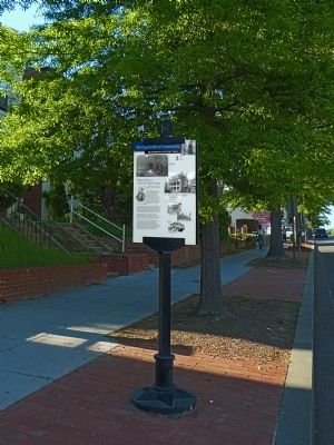
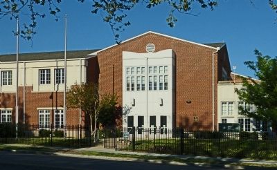
Location. Marker has been reported missing. It was located near 38° 57.517′ N, 77° 1.7′ W. Marker was in Northwest Washington in Washington, District of Columbia. It was in 16th Street Heights. Marker was on Georgia Avenue Northwest (U.S. 29) north of Madison Street Northwest, on the right when traveling south. The marker is across Georgia Avenue from the Emery Recreation Center at 5701 Georgia Avenue Northwest Washington, DC 20011. Touch for map. Marker was at or near this postal address: 5706 Georgia Avenue Northeast, Washington DC 20011, United States of America. Touch for directions.
Other nearby markers. At least 8 other markers are within walking distance of this location. Crossroads Create Community (approx. 0.2 miles away); Build It And They Will Come (approx. 0.2 miles away); Fellowship Baptist Church (approx. 0.2 miles away); A Streetcar Named Brightwood (approx. ¼ mile away); School Days (approx. 0.3 miles away); Military Road School (approx. 0.3 miles away); Racing at Brightwood (approx. 0.3 miles away); New St. Paul Baptist Church (approx. 0.3 miles away). Touch for a list and map of all markers in Northwest Washington.
Also see . . .
1. Brightwood Heritage Trail Opening. TOCWOC - A Civil War Blog (Submitted on May 10, 2013, by Allen C. Browne of Silver Spring, Maryland.)
2. Battleground to Community: Brightwood Heritage Trail. DC Cultural Tourism, with links to trail map and guide book. (Submitted on January 11, 2021, by Larry Gertner of New York, New York.)
Credits. This page was last revised on January 30, 2023. It was originally submitted on May 10, 2013, by Allen C. Browne of Silver Spring, Maryland. This page has been viewed 1,159 times since then and 41 times this year. Last updated on April 6, 2014, by Allen C. Browne of Silver Spring, Maryland. Photos: 1, 2, 3, 4, 5, 6, 7, 8. submitted on May 10, 2013, by Allen C. Browne of Silver Spring, Maryland. • Bill Pfingsten was the editor who published this page.
