Port Orford in Curry County, Oregon — The American West (Northwest)
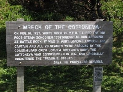
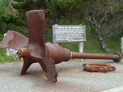
Wreck of the Cottoneva
Topics. This historical marker is listed in these topic lists: Disasters • Waterways & Vessels. A significant historical month for this entry is February 1876.
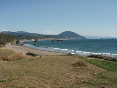
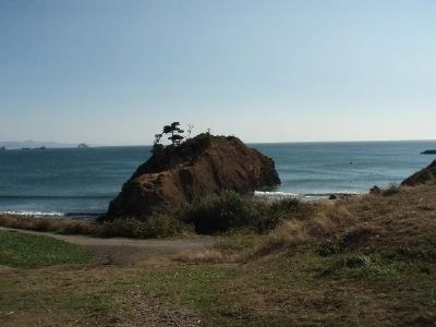
Location. 42° 44.589′ N, 124° 29.568′ W. Marker is in Port Orford, Oregon, in Curry County. Marker is on U.S. 101, on the right when traveling south. This marker is located at the Port Orford Visitor Center just south of Battle Rock. There is ample parking with access to a beautiful crescent beach and a stunning view along the coast to the south. Touch for map. Marker is in this post office area: Port Orford OR 97465, United States of America. Touch for directions.
Other nearby markers. At least 8 other markers are within 8 miles of this marker, measured as the crow flies. Battle Rock City Park (here, next to this marker); Battle Rock (about 300 feet away, measured in a direct line); Oregon Beach Gold (approx. 5.4 miles away); Toward a New Century (approx. 7.2 miles away); We Have a River in Common (approx. 7.2 miles away); Lifeline to the Past (approx. 7.2 miles away); a different marker also named Lifeline to the Past (approx. 7.2 miles away); The Pioneer Will ... and the Pioneer Way (approx. 7.2 miles away). Touch for a list and map of all markers in Port Orford.
More about this marker. This marker is a wooden board supported by two wooden posts.
Credits. This page was last revised on July 9, 2021. It was originally submitted on April 24, 2014, by Larry Wilson of Wareham, Massachusetts. This page has been viewed 491 times since then and 26 times this year. Photos: 1, 2, 3, 4. submitted on April 24, 2014, by Larry Wilson of Wareham, Massachusetts. • Bill Pfingsten was the editor who published this page.


