Odessa in Ector County, Texas — The American South (West South Central)
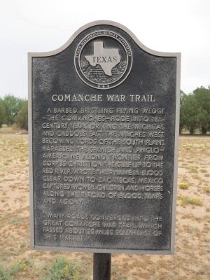
Comanche War Trail
Many roads converged into the great Comanche war trail, which passed about 20 miles southeast of this marker.
Erected 1964 by State Historical Survey Committee. (Marker Number 996.)
Topics and series. This historical marker is listed in these topic lists: Native Americans • Roads & Vehicles • Settlements & Settlers • Wars, US Indian. In addition, it is included in the Comanche Trail into Mexico series list.
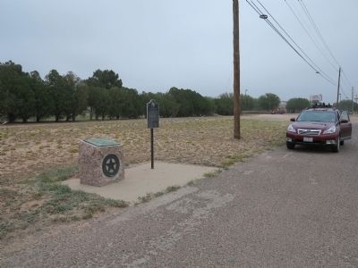
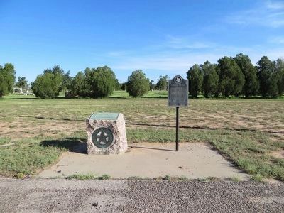
Location. 31° 52.851′ N, 102° 17.887′ W. Marker is in Odessa, Texas, in Ector County. Marker is at the intersection of Business Interstate 20 and Newell Road, on the left when traveling east on Interstate 20Business . Touch for map. Marker is at or near this postal address: 6801 Interstate 20E Business, Odessa TX 79762, United States of America. Touch for directions.
Other nearby markers. At least 8 other markers are within 4 miles of this marker, measured as the crow flies. Ector County (here, next to this marker); Emmet V. Headlee, M.D (approx. 1.6 miles away); John Ben Shepperd (approx. 2.2 miles away); Old Buffalo Wallow (approx. 2.3 miles away); Sewell Ford (approx. 2.6 miles away); Temple Beth El (approx. 3 miles away); Ector County's First Dry Hole (approx. 3.1 miles away); Site of Homestead of William C. Sublett (approx. 3.2 miles away). Touch for a list and map of all markers in Odessa.
Credits. This page was last revised on June 16, 2016. It was originally submitted on April 30, 2014, by Richard Denney of Austin, Texas. This page has been viewed 1,004 times since then and 46 times this year. Photos: 1, 2. submitted on April 30, 2014, by Richard Denney of Austin, Texas. 3. submitted on August 4, 2015, by Bill Kirchner of Tucson, Arizona. • Bernard Fisher was the editor who published this page.


