Near Morgantown in Monongalia County, West Virginia — The American South (Appalachia)
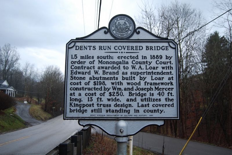
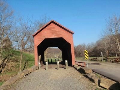
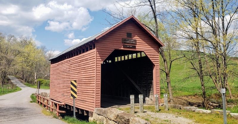
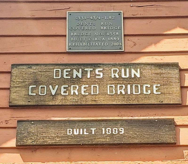
Dents Run Covered Bridge
Erected 1981 by West Virginia Department of Archives and History.
Topics and series. This historical marker is listed in this topic list: Bridges & Viaducts. In addition, it is included in the Covered Bridges, and the West Virginia Archives and History series lists. A significant historical year for this entry is 1889.
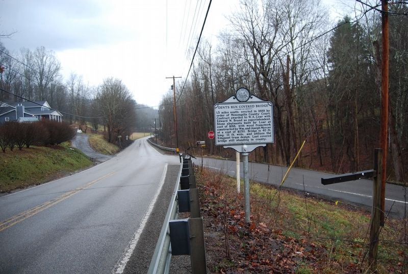
Location. 39° 37.163′ N, 80° 1.84′ W. Marker is near Morgantown, West Virginia, in Monongalia County. Marker is at the intersection of Fairmont Road (U.S. 19) and Sugar Grove Road (County Route 43), on the right when traveling south on Fairmont Road. Touch for map. Marker is in this post office area: Morgantown WV 26501, United States of America. Touch for directions.
Other nearby markers. At least 8 other markers are within 3 miles of this marker, measured as the crow flies. Mt. Tabor Baptist Church (approx. 1.6 miles away); Veterans Memorial (approx. 1.8 miles away); Lynch Chapel (approx. 2.4 miles away); a different marker also named Veterans Memorial (approx. 2.4 miles away); Westwood Middle School (approx. 2.8 miles away); In Memory Of The First Ladies Of Westover (approx. 2.8 miles away); Town of Granville Honor Roll (approx. 2.9 miles away); a different marker also named Veterans Memorial (approx. 2.9 miles away). Touch for a list and map of all markers in Morgantown.
Regarding Dents Run Covered Bridge. The bridge is located on John Fox Road, north of this marker.
Credits. This page was last revised on April 20, 2021. It was originally submitted on May 3, 2014, by Don Morfe of Baltimore, Maryland. This page has been viewed 562 times since then and 22 times this year. Last updated on April 20, 2021, by Bradley Owen of Morgantown, West Virginia. Photos: 1, 2. submitted on February 23, 2018, by Mike Wintermantel of Pittsburgh, Pennsylvania. 3. submitted on May 3, 2014, by Don Morfe of Baltimore, Maryland. 4, 5. submitted on April 20, 2021, by Bradley Owen of Morgantown, West Virginia. • J. Makali Bruton was the editor who published this page.
