Near Fennville in Allegan County, Michigan — The American Midwest (Great Lakes)
Fifty-Seventh Street Bridge
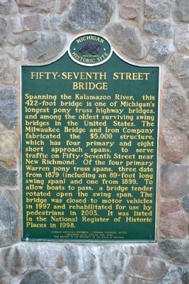
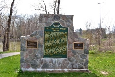
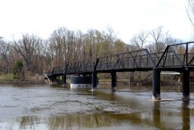
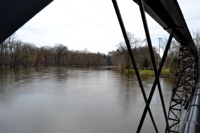
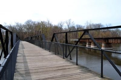
Spanning the Kalamazoo River, this 422-foot bridge is one of Michiganís longest pony truss highway bridges, and among the oldest surviving swing bridges in the United States. The Milwaukee Bridge and Iron Company fabricated the $5,000 structure, which has four primary and eight short approach spans, to serve traffic on Fifty-Seventh Street near New Richmond. Of the four primary Warren pony truss spans, three date from 1879 (including an 89-foot long swing span) and one from 1899. To allow boats to pass, a bridge tender rotated open the swing span. The bridge was closed to motor vehicles in 1997 and rehabilitated for use by pedestrians in 2003. It was listed in the National Register of Historic Places in 1998.
Erected 2006 by Michigan Historical Commission - Michigan Historical Center. (Marker Number L589.)
Topics and series. This historical marker is listed in this topic list: Bridges & Viaducts. In addition, it is included in the Michigan Historical Commission series list. A significant historical year for this entry is 1879.
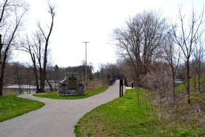
Location. 42° 39.134′ N, 86° 6.414′ W. Marker is near Fennville, Michigan, in Allegan County. Marker can be reached from Old Allegan Road, 0.3 miles east of 58th Street. Marker is located near the north entrance to New Richmond Bridge County Park. Touch for map. Marker is in this post office area: Fennville MI 49408, United States of America. Touch for directions.
Other nearby markers. At least 8 other markers are within 5 miles of this marker, measured as the crow flies. New Richmond History (a few steps from this marker); The Railroad & New Richmond (within shouting distance of this marker); New Richmond Historical Timeline (about 400 feet away, measured in a direct line); The Allegan Road (approx. 3.9 miles away); Welcome to River Bluff Park (approx. 3.9 miles away); Welcome to Fennville (approx. 4 miles away); All Saints Episcopal Church / Gordon W. Lloyd (approx. 4.8 miles away); First Congregational Church (approx. 4.9 miles away). Touch for a list and map of all markers in Fennville.
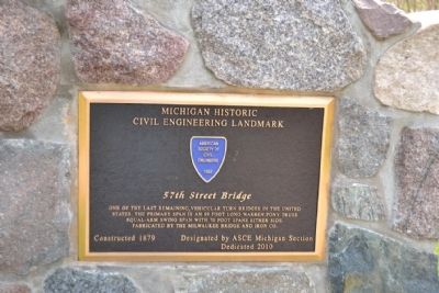
Regarding Fifty-Seventh Street Bridge. The Michigan Section of the American Society of Civil Engineers designated the 57th Street Bridge as a Michigan Historic Civil Engineering Landmark in 2010.
Also see . . .
1. New Richmond Bridge / 57th Street Bridge. From the HistoricBridges.org website. (Submitted on May 9, 2014.)
2. New Richmond Bridge Park. Michigan Water Trails website entry (Submitted on April 2, 2022, by Larry Gertner of New York, New York.)
Credits. This page was last revised on April 2, 2022. It was originally submitted on May 9, 2014, by Duane Hall of Abilene, Texas. This page has been viewed 742 times since then and 28 times this year. Photos: 1, 2, 3, 4, 5, 6, 7. submitted on May 9, 2014, by Duane Hall of Abilene, Texas.
