Douglas in Allegan County, Michigan — The American Midwest (Great Lakes)
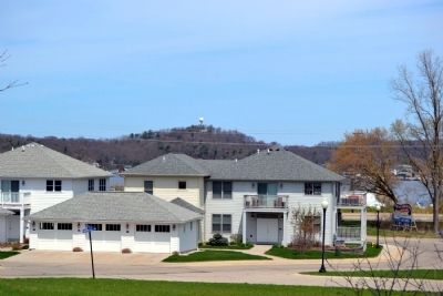
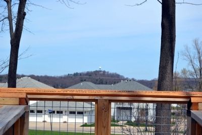
Mt. Baldhead
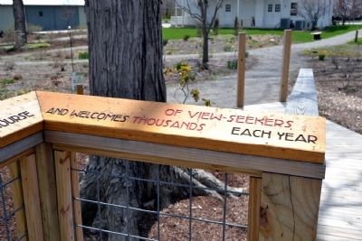
Inscription.
Mt. Baldhead is one of Michiganís tallest dunes. Local Indians used it for their White Dog ceremonial sacrifice. In 1884 it became a park with camping at the foot and observation tower on top. In 1890, the first Fat Mans Club dune climb took place, and weddings at the top became popular. Changing lake levels and powerful west winds caused the “bald” dune to move eastward, threatening to block the harbor and destroy the village. The solution? Trees. The ball, a Korean War Air Force radar station was placed on top. Today, 302 steps are part of a marathon course and welcomes thousands of view-seekers each year.
Topics. This historical marker is listed in this topic list: Notable Places. A significant historical year for this entry is 1884.
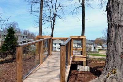
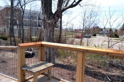
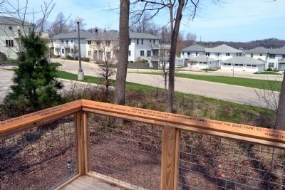
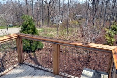
Location. 42° 38.67′ N, 86° 12.232′ W. Marker is in Douglas, Michigan, in Allegan County. Marker can be reached from W. Center Street west of N. Union Street. Marker is located at the Mt. Baldhead Viewing Station in the rear part of the Old Schoolhouse property. Touch for map. Marker is at or near this postal address: 130 W Center Street, Douglas MI 49406, United States of America. Touch for directions.
Other nearby markers. At least 8 other markers are within walking distance of this marker. Francis Metallic Surfboat (within shouting distance of this marker); The Old School House (within shouting distance of this marker); Douglas Union School (within shouting distance of this marker); Welcome to Historic Douglas (about 300 feet away, measured in a direct line); Dr. Asa Goodrich House (about 300 feet away); Dutcher Lodge No. 193 / Douglas (about 400 feet away); Sarah M. Kirby House (approx. 0.2 miles away); New Singapore (approx. ľ mile away). Touch for a list and map of all markers in Douglas.
Credits. This page was last revised on June 16, 2016. It was originally submitted on May 12, 2014, by Duane Hall of Abilene, Texas. This page has been viewed 964 times since then and 36 times this year. Photos: 1, 2, 3, 4, 5, 6, 7. submitted on May 12, 2014, by Duane Hall of Abilene, Texas.
