Ripley in Jackson County, West Virginia — The American South (Appalachia)
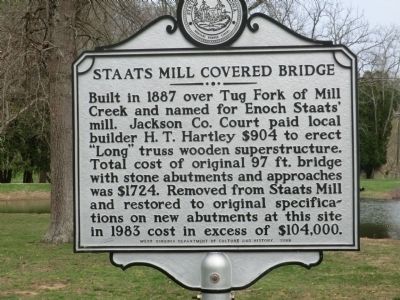
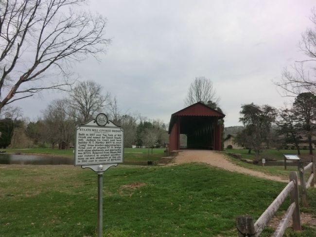
Staats Mill Covered Bridge
Erected 1983 by West Virginia Department of Culture and History.
Topics and series. This historical marker is listed in these topic lists: Bridges & Viaducts • Settlements & Settlers. In addition, it is included in the Covered Bridges, and the West Virginia Archives and History series lists. A significant historical year for this entry is 1887.
Location. 38° 47.666′ N, 81° 41.231′ W. Marker is in Ripley, West Virginia, in Jackson County. Marker is on FFA Drive east of Cedar Creek Drive (County Route 25), on the left when traveling east. Touch for map. Marker is at or near this postal address: 82 FFA Drive, Ripley WV 25271, United States of America. Touch for directions.
Other nearby markers. At least 8 other markers are within 3 miles of this marker, measured as the crow flies. The Casto Hole (a few steps from this marker); Ripley (approx. 2.1 miles away); Jackson County Veterans Memorial Park (approx. 2.2 miles away); Raid on Ripley (approx. 2.2 miles away); a different marker also named Ripley (approx. 2.2 miles away); a different marker also named Ripley (approx. 2.2 miles away); Partisan Raid (approx. 2.2 miles away); Civil War Memorial (approx. 2.2 miles away). Touch for a list and map of all markers in Ripley.
Credits. This page was last revised on June 16, 2016. It was originally submitted on May 12, 2014, by Don Morfe of Baltimore, Maryland. This page has been viewed 533 times since then and 25 times this year. Photos: 1, 2. submitted on May 12, 2014, by Don Morfe of Baltimore, Maryland. • Bill Pfingsten was the editor who published this page.

