Huntington in Wayne County, West Virginia — The American South (Appalachia)
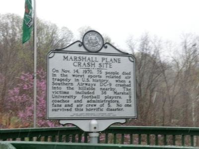
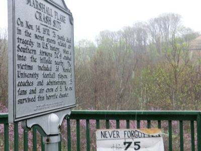
Marshall Plane Crash Site
Erected 2008 by West Virginia Department of Archives and History.
Topics and series. This historical marker is listed in these topic lists: Air & Space • Disasters • Education • Sports. In addition, it is included in the West Virginia Archives and History series list. A significant historical month for this entry is October 1899.
Location. 38° 22.386′ N, 82° 34.8′ W. Marker is in Huntington, West Virginia, in Wayne County. Marker is on Old US 2. Touch for map. Marker is in this post office area: Huntington WV 25704, United States of America. Touch for directions.
Other nearby markers. At least 8 other markers are within 3 miles of this marker, measured as the crow flies. Revolutionary War Soldier’s Grave (approx. 1.7 miles away); Camp Pierpont (approx. 2.1 miles away); Ceredo - Kenova (approx. 2.2 miles away); West Virginia (Wayne County) / Kentucky (approx. 2.2 miles away); Dreamland Pool (approx. 2.2 miles away); Here Lies James H. McCoy / Here Lies Floyd McCoy (approx. 2.3 miles away in Kentucky); County Named, 1860 (approx. 3.1 miles away in Kentucky); Country Music Highway (approx. 3.1 miles away in Kentucky).
Credits. This page was last revised on June 9, 2020. It was originally submitted on May 15, 2014, by Don Morfe of Baltimore, Maryland. This page has been viewed 8,596 times since then and 842 times this year. Photos: 1, 2, 3, 4. submitted on May 15, 2014, by Don Morfe of Baltimore, Maryland. • Bill Pfingsten was the editor who published this page.


