Mexico Beach in Bay County, Florida — The American South (South Atlantic)
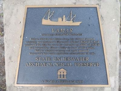
Vamar
(formerly Eleanor Bolling)
Built in 1919 for the British Navy, this 170-foot steamer originally was christened Kilmarnock. Admiral Richard E. Byrd purchased the ship for use in his Antarctic expedition of 1928-30 and renamed her Eleanor Bolling in honor of his mother.
Sold to a lumber company and again renamed, Vamar sank here under mysterious circumstances in 1942.
A Florida Heritage Site
Erected by State Underwater Archaeological Preserve.
Topics. This historical marker is listed in these topic lists: Exploration • Industry & Commerce • Waterways & Vessels. A significant historical year for this entry is 1919.
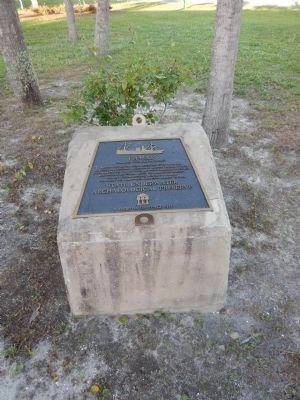
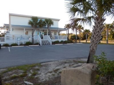
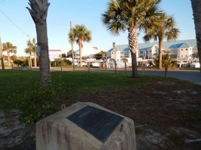
Location. 29° 57.211′ N, 85° 25.683′ W. Marker is in Mexico Beach, Florida, in Bay County. Marker is at the intersection of U.S. 98 and Canal Parkway, on the right when traveling east on U.S. 98. Marker is located in the Mexico Beach Visitors Center parking lot. Touch for map. Marker is at or near this postal address: 102 Canal Parkway, Mexico Beach FL 32410, United States of America. Touch for directions.
Other nearby markers. At least 8 other markers are within 16 miles of this marker, measured as the crow flies. Fort Crèvecoeur (approx. 4.2 miles away); Shipyard Cove (approx. 12.3 miles away); St. Joseph Catholic Mission Church (approx. 12.6 miles away); The Florida Constitution (approx. 13.6 miles away); Old St. Joseph Cemetery (approx. 13.9 miles away); St. Joseph Cemetery Burial Register (approx. 13.9 miles away); Saint Joseph Cemetery (approx. 13.9 miles away); Old Callaway One-Room School House (approx. 15.3 miles away).
Also see . . . Eleanor Boling - Vamar - Lumbership Wreck. Mexico Beach Artificial Reef Association (Submitted on May 16, 2014, by Cosmos Mariner of Cape Canaveral, Florida.)
Credits. This page was last revised on July 23, 2017. It was originally submitted on May 16, 2014, by Cosmos Mariner of Cape Canaveral, Florida. This page has been viewed 660 times since then and 49 times this year. Photos: 1, 2, 3, 4. submitted on May 16, 2014, by Cosmos Mariner of Cape Canaveral, Florida. • Bernard Fisher was the editor who published this page.


