Takoma Park in Montgomery County, Maryland — The American Northeast (Mid-Atlantic)
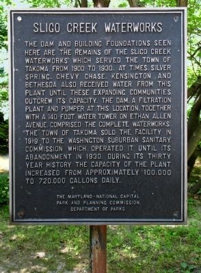
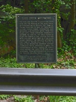
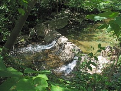
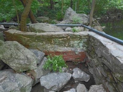
Sligo Creek Waterworks
Erected by The Maryland-National Capital Park and Planning Commission Department of Parks.
Topics. This historical marker is listed in these topic lists: Industry & Commerce • Natural Resources • Waterways & Vessels. A significant historical year for this entry is 1900.
Location. 38° 59.186′ N, 77° 0.287′ W. Marker is in Takoma Park, Maryland, in Montgomery County. Marker can be reached from Sligo Creek Trail. Along Sligo Creek Parkway in Sligo creek Park. Touch for map. Marker is in this post office area: Takoma Park MD 20912, United States of America. Touch for directions.
Other nearby markers. At least 8 other markers are within walking distance of this marker. "The Presidents Tree" (about 400 feet away, measured in a direct line); Washington Adventist University Veterans Memorial (approx. 0.3 miles away); Carroll Avenue Bridge (approx. 0.3 miles away); Lee Jordan Field (approx. 0.4 miles away); Lee Jordan (approx. 0.4 miles away); In Memory of Sgt. Christopher Thornton (approx. half a mile away); Veterans Memorial (approx. half a mile away); B.Y. Morrison Park (approx. 0.6 miles away). Touch for a list and map of all markers in Takoma Park.
Also see . . . Sligo Creek Waterworks, site. (PDF) Maryland Historic Sites Survey, M: 37-1, Takoma Park. (Submitted on May 10, 2014, by Allen C. Browne of Silver Spring, Maryland.)
Credits. This page was last revised on January 4, 2023. It was originally submitted on May 10, 2014, by Allen C. Browne of Silver Spring, Maryland. This page has been viewed 669 times since then and 33 times this year. Last updated on May 17, 2014, by Allen C. Browne of Silver Spring, Maryland. Photos: 1. submitted on May 10, 2014, by Allen C. Browne of Silver Spring, Maryland. 2. submitted on May 17, 2014, by Allen C. Browne of Silver Spring, Maryland. 3. submitted on May 10, 2014, by Allen C. Browne of Silver Spring, Maryland. 4. submitted on May 17, 2014, by Allen C. Browne of Silver Spring, Maryland. • Bill Pfingsten was the editor who published this page.


