Maidsville in Monongalia County, West Virginia — The American South (Appalachia)
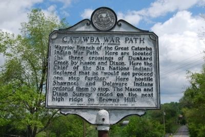
Catawba War Path
Erected 1971 by West Virginia Department of Archives and History.
Topics and series. This historical marker is listed in this topic list: Native Americans. In addition, it is included in the West Virginia Archives and History series list.
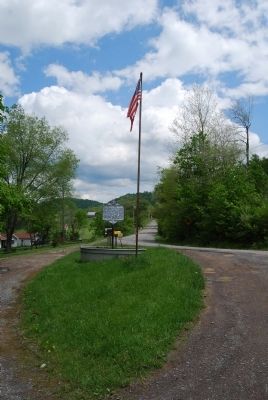
Location. 39° 43.039′ N, 80° 6.39′ W. Marker is in Maidsville, West Virginia, in Monongalia County. Marker is on Buckeye Road (West Virginia Route 39) 0.7 miles east of Mason Dixon Highway (West Virginia Route 7), on the right when traveling west. Touch for map. Marker is in this post office area: Maidsville WV 26541, United States of America. Touch for directions.
Other nearby markers. At least 8 other markers are within 3 miles of this marker, measured as the crow flies. Shanks Mill (approx. half a mile away); Border Heroine (approx. 0.7 miles away); Price Memorial Cemetery (approx. 1.4 miles away); Statler's Fort (approx. 1.7 miles away); Civil War Monument (approx. 2.1 miles away in Pennsylvania); Veterans Memorial (approx. 2.3 miles away in Pennsylvania); Monongalia County / Pennsylvania (approx. 2.4 miles away); Mt. Morris (approx. 2˝ miles away in Pennsylvania). Touch for a list and map of all markers in Maidsville.
Credits. This page was last revised on May 11, 2022. It was originally submitted on May 17, 2014, by Mike Wintermantel of Pittsburgh, Pennsylvania. This page has been viewed 741 times since then and 35 times this year. Photos: 1, 2. submitted on May 17, 2014, by Mike Wintermantel of Pittsburgh, Pennsylvania.

