Near Wolf in Carter County, Kentucky — The American South (East South Central)
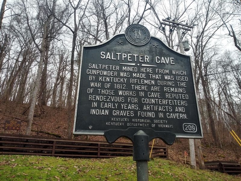
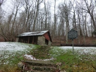
Saltpeter Cave
Erected 1963 by Kentucky Historical Society-Kentucky Department of Highways. (Marker Number 209.)
Topics and series. This memorial is listed in these topic lists: Industry & Commerce • Settlements & Settlers • War of 1812. In addition, it is included in the Kentucky Historical Society series list. A significant historical year for this entry is 1812.
Location. 38° 22.602′ N, 83° 7.398′ W. Marker is near Wolf, Kentucky, in Carter County. Memorial is on Cave Road. The marker is located in Carter Caves State Resort Park. Touch for map. Marker is in this post office area: Olive Hill KY 41164, United States of America. Touch for directions.
Other nearby markers. At least 8 other markers are within 7 miles of this marker, measured as the crow flies. The Caves Of Carter County (about 300 feet away, measured in a direct line); Seasonal Tours (about 300 feet away); Aviation Pioneer / Matthew B. Sellers (approx. 4 miles away); Home of Gov. Fields (approx. 4.9 miles away); Carter County 20th Century War Memorial (approx. 5.8 miles away); Historical Mural by Northeast WIA Youth (approx. 5.8 miles away); Tom T. Hall (approx. 5.8 miles away); Beckham County (approx. 6.4 miles away). Touch for a list and map of all markers in Wolf.
Credits. This page was last revised on January 10, 2021. It was originally submitted on May 17, 2014, by Don Morfe of Baltimore, Maryland. This page has been viewed 636 times since then and 45 times this year. Last updated on January 9, 2021, by Craig Doda of Napoleon, Ohio. Photos: 1. submitted on January 9, 2021, by Craig Doda of Napoleon, Ohio. 2. submitted on May 17, 2014, by Don Morfe of Baltimore, Maryland. • J. Makali Bruton was the editor who published this page.

