Fort Monroe in Hampton, Virginia — The American South (Mid-Atlantic)
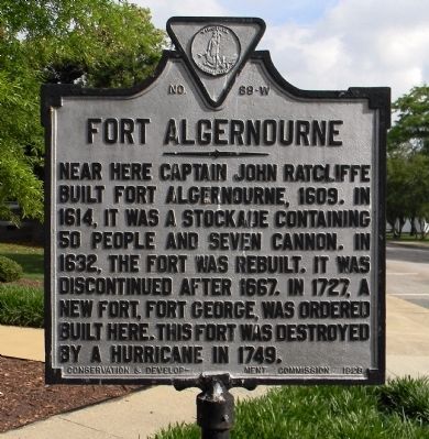
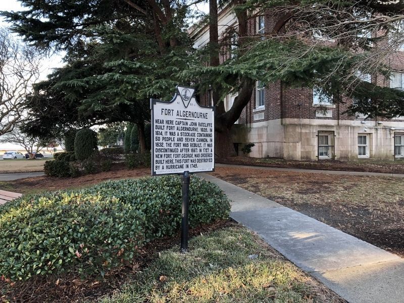
Fort Algernourne
Erected 1928 by Conservation & Development Commission. (Marker Number W-89.)
Topics and series. This historical marker is listed in these topic lists: Colonial Era • Exploration • Forts and Castles • Settlements & Settlers. In addition, it is included in the Virginia Department of Historic Resources (DHR) series list. A significant historical year for this entry is 1609.
Location. 37° 0.128′ N, 76° 18.679′ W. Marker is in Hampton, Virginia. It is in Fort Monroe. Marker is on Ingalls Road, 0.1 miles south of Ruckman Road, on the right when traveling south. Touch for map. Marker is at or near this postal address: 33 Ingalls Road, Fort Monroe VA 23651, United States of America. Touch for directions.
Other nearby markers. At least 8 other markers are within walking distance of this marker. Wisser Hall: From Books To War Games (a few steps from this marker); Flood of August 23, 1933 (within shouting distance of this marker); Hurricane Isabel (within shouting distance of this marker); Why Was The Fort Built Here? (within shouting distance of this marker); A Bay Worth Preserving (within shouting distance of this marker); Who Built Fort Monroe? (within shouting distance of this marker); How Big Is Fort Monroe? (within shouting distance of this marker); Fort Monroe's Arc Of Freedom (within shouting distance of this marker). Touch for a list and map of all markers in Hampton.
Regarding Fort Algernourne. The precise location of Fort Algernourne is unknown. Written accounts place the landside wall of Fort George in the approximate location of Fort Monroe's seaside wall and moat.
Algernon is the frequently used alternate spelling for the fort's name.
Also see . . .
1. Fort Monroe National Monument, National Park Service. (Submitted on August 19, 2019.)
2. Fort Monroe (Stone Fort) National Register of Historic Places Registration Form (pdf file). (Submitted on August 19, 2019.)
Credits. This page was last revised on February 1, 2023. It was originally submitted on May 18, 2014, by PaulwC3 of Northern, Virginia. This page has been viewed 1,325 times since then and 84 times this year. Photos: 1. submitted on May 18, 2014, by PaulwC3 of Northern, Virginia. 2. submitted on February 9, 2021, by Devry Becker Jones of Washington, District of Columbia.

