Near Quicksburg in Shenandoah County, Virginia — The American South (Mid-Atlantic)
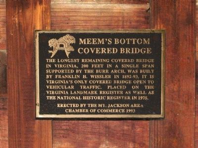
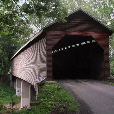
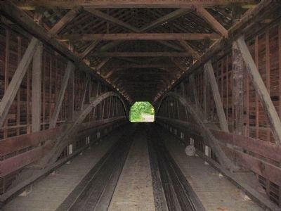
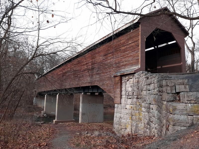
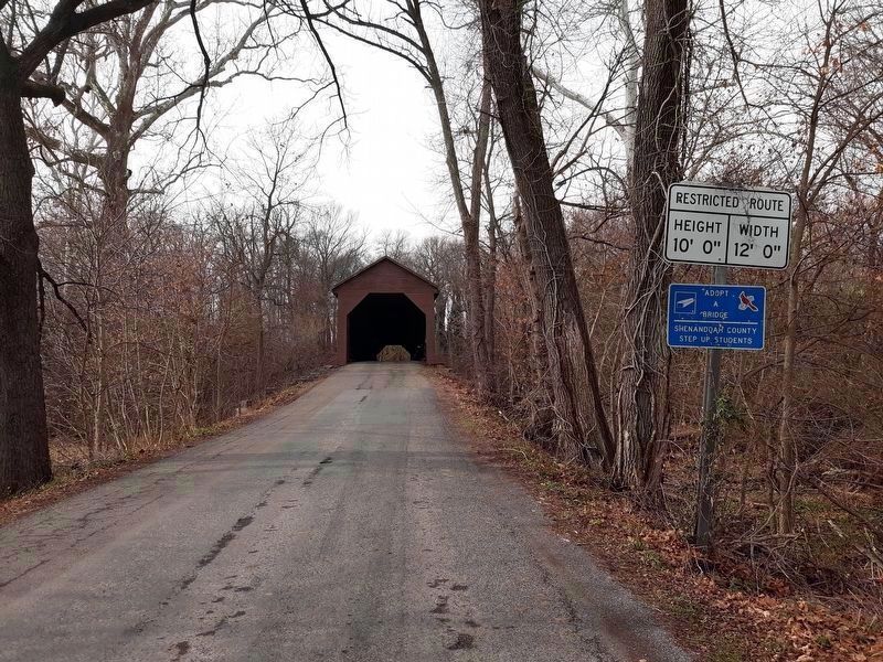
Meem's Bottom Covered Bridge
Erected 1993 by the Mount Jackson Area Chamber of Commerce.
Topics and series. This historical marker is listed in these topic lists: Bridges & Viaducts • Landmarks. In addition, it is included in the Covered Bridges series list. A significant historical year for this entry is 1975.
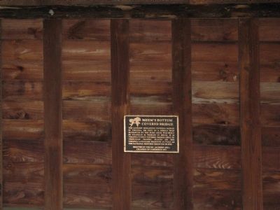
Location. 38° 43.251′ N, 78° 39.317′ W. Marker is near Quicksburg, Virginia, in Shenandoah County. Marker is on Wissler Road (Virginia Route 720) half a mile west of Old Valley Pike (U.S. 11), on the right when traveling west. The marker is inside the Meem's Bottom Covered Bridge. Touch for map. Marker is at or near this postal address: 750 Wissler Rd, New Market VA 22844, United States of America. Touch for directions.
Other nearby markers. At least 8 other markers are within 2 miles of this marker, measured as the crow flies. A different marker also named Meem’s Bottom Covered Bridge (approx. half a mile away); McNeill’s Last Charge (approx. 0.8 miles away); Veterans Memorial (approx. one mile away); Rude's Hill (approx. 1.3 miles away); a different marker also named Rude’s Hill (approx. 1.3 miles away); Rude’s Hill Action (approx. 1.3 miles away); a different marker also named Rude’s Hill (approx. 1.3 miles away); Cavalry Engagement (approx. 1.3 miles away).
Also see . . . Meem's Bottom Covered Bridge - YouTube video by the contributor. (Submitted on December 19, 2020, by Craig Doda of Napoleon, Ohio.)
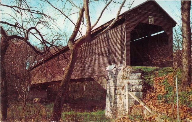
J.J. Prats Postcard Collection
7. Old Covered Bridge, Meems Bottom, Virginia
Unused undated unnumbered postcard published by “Valley Views, Bridgewater, Va. 22812.” Caption reads, “This picturesque old covered bridge located 2 miles south of Mt. Jackson, Virginia, and north of New Market, is located on a state road crossing the north fork of the Shenandoah River, between Highway No. 11 and Interstate No. 81. This road can be taken to Shenandoah Caverns. The bridge was built in 1893 and has a span of 181 feet.”
Credits. This page was last revised on December 22, 2020. It was originally submitted on May 18, 2014, by Allen C. Browne of Silver Spring, Maryland. This page has been viewed 706 times since then and 27 times this year. Photos: 1, 2, 3, 4. submitted on May 18, 2014, by Allen C. Browne of Silver Spring, Maryland. 5, 6. submitted on December 19, 2020, by Craig Doda of Napoleon, Ohio. 7. submitted on October 1, 2014, by J. J. Prats of Powell, Ohio. • Bernard Fisher was the editor who published this page.
