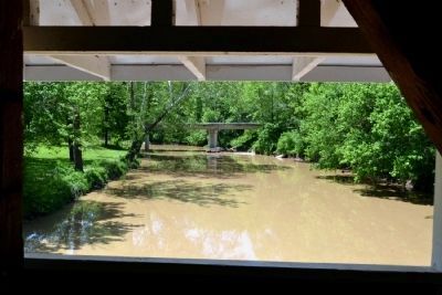
Near Westport in Decatur County, Indiana — The American Midwest (Great Lakes)
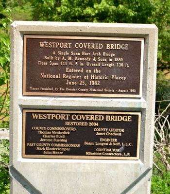
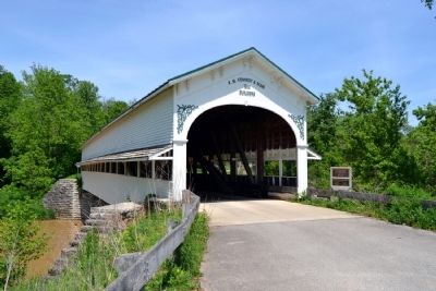
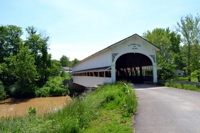
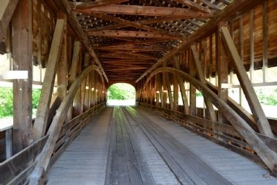
Westport Covered Bridge
Built by A.M. Kennedy & Sons in 1880
Clear Span 111 ft. 6 in. Overall Length 130 ft.
Entered on the
National Register of Historic Places
June 25, 1982
Erected 1993 by The Decatur County Historical Society.
Topics and series. This historical marker is listed in this topic list: Bridges & Viaducts. In addition, it is included in the Covered Bridges series list. A significant historical month for this entry is June 1836.
Location. 39° 10.007′ N, 85° 32.761′ W. Marker is near Westport, Indiana, in Decatur County. Marker is on W. Layton Drive north of County Road W1100S, on the right when traveling west. Touch for map. Marker is at or near this postal address: 3501 W Layton Dr, Westport IN 47283, United States of America. Touch for directions.
Other nearby markers. At least 8 other markers are within 11 miles of this marker, measured as the crow flies. Centre of Population of the United States 1890 (approx. 2.9 miles away); Union Flat Rock Cemetery Memorial (approx. 5.8 miles away); Union Church (approx. 5.9 miles away); Kellar Grist Mill (approx. 7.1 miles away); Hannah Milhous Nixon (approx. 9.4 miles away); Hartsville College (approx. 10.7 miles away); Private Barton W. Mitchell (approx. 10.8 miles away); a different marker also named Hartsville College (approx. 10.8 miles away).
More about this marker. The plaque underneath the National Register plaque indicates the bridge was restored in 2004 and lists the County officials, engineer, and contractor for the restoration.
Credits. This page was last revised on June 16, 2016. It was originally submitted on May 25, 2014, by Duane Hall of Abilene, Texas. This page has been viewed 453 times since then and 16 times this year. Photos: 1, 2, 3, 4, 5. submitted on May 25, 2014, by Duane Hall of Abilene, Texas.
