Concord in Appomattox County, Virginia — The American South (Mid-Atlantic)
Appomattox County / Campbell County
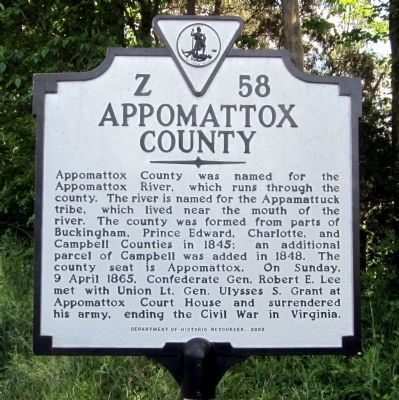
Appomattox County. Appomattox County was named for the Appomattox River, which runs through the county. The river is named for the Appamattuck tribe, which lived near the mouth of the river. The county was formed from parts of Buckingham, Prince Edward, Charlotte, and Campbell Counties in 1845; an additional parcel of Campbell was added in 1848. The county seat is Appomattox. On Sunday, 9 April 1865, Confederate Gen. Robert E. Lee met with Union Lt. Gen. Ulysses S. Grant at Appomattox Court House and surrendered his army, ending the Civil War in Virginia.
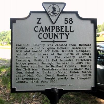
Campbell County. Campbell County was created from Bedford County by the Virginia General Assembly in 1781 and named for Gen. William Campbell, one of the heroes of the Battle of King’s Mountain in 1780. The county seat is Rustburg. British Lt. Col. Banastre Tarleton’s troops passed through the area in July 1781 to burn supplies in Bedford County. During the Civil War, Confederate forces under Maj. Gen. Jubal A. Early defeated Union forces under Maj. Gen. David Hunter at the Battle of Lynchburg, fought partly in Campbell County, 16–18 June 1864.
Erected 2003 by Department of Historic Resources. (Marker Number Z-58.)
Topics and series. This historical marker is listed in these topic lists: Political Subdivisions • War, US Civil • War, US Revolutionary. In addition, it is included in the Virginia Department of Historic Resources (DHR) series list. A significant historical date for this entry is April 9, 1865.
Location. 37° 20.965′ N, 78° 58.292′ W. Marker is in Concord, Virginia, in Appomattox County. Marker is at the intersection of Richmond Highway (U.S. 460) and Village Highway (Virginia Route 24), on the right when traveling east on Richmond Highway. Touch for map. Marker is in this post office area: Concord VA 24538, United States of America. Touch for directions.
Other nearby markers. At least 8 other markers are within 8 miles of this marker, measured as the crow flies. Concord Depot (a few steps from this marker); Oxford Furnace (approx. 4.3 miles away); Col. Vincent W. “Squeek” Burnett (approx. 5.3 miles away); Mount Athos (approx. 5.8 miles away); Surrender at Appomattox (approx. 6.3 miles away); The Last Fight (approx. 6.3 miles away); Buffalo Lick Plantation (approx. 6.9 miles away); Robertson House Fight (approx. 7.2 miles away).
Credits. This page was last revised on July 3, 2021. It was originally submitted on May 26, 2014, by Bernard Fisher of Richmond, Virginia. This page has been viewed 555 times since then and 24 times this year. Photos: 1, 2, 3. submitted on May 26, 2014, by Bernard Fisher of Richmond, Virginia.


