Kingsley Grist Mill
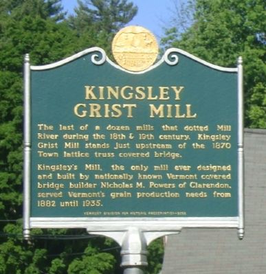
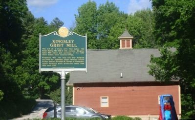
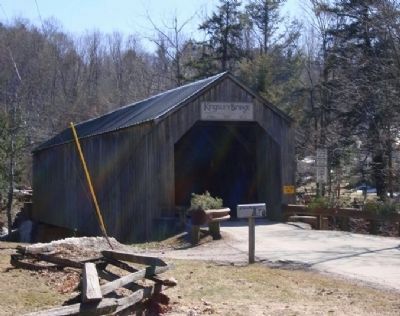
The last of a dozen mills that dotted Mill River during the 18th & 19th century. Kingsley Grist Mill stands just upstream of the 1870 Town lattice truss covered bridge.
Kingsley's Mill, the only mill ever designed and built by nationally known Vermont covered bridge builder Nicholas M. Powers of Clarendon, served Vermont's grain production needs from 1882 until 1935.
Erected 2005 by Vermont Division for Historic Preservation.
Topics and series. This historical marker is listed in these topic lists: Agriculture • Industry & Commerce • Waterways & Vessels. In addition, it is included in the Covered Bridges series list. A significant historical year for this entry is 1870.
Location. 43° 31.459′ N, 72° 56.424′ W. Marker is in Clarendon, Vermont, in Rutland County. It is in North Clarendon. Marker is at the intersection of Gorge Road and East Street on Gorge Road. Touch for map. Marker is in this post office area: North Clarendon VT 05759, United States of America. Touch for directions.
Other nearby markers. At least 8 other markers are within 6 miles of this marker, measured as the crow flies. Brown Bridge (approx. 3.1 miles away); Paul P. Harris (approx. 4 miles away); John Porter Bowman and Laurel Hall / Laurel Glen Mausoleum (approx. 4.1 miles away); Ralph H. Pickett Veterans Memorial Park
Credits. This page was last revised on February 16, 2023. It was originally submitted on June 15, 2014, by John Arsenault of Middletown Springs, Vermont. This page has been viewed 726 times since then and 36 times this year. Photos: 1, 2, 3. submitted on June 15, 2014, by John Arsenault of Middletown Springs, Vermont. • Bill Pfingsten was the editor who published this page.


