Near Brentwood Bay in Capital, British Columbia — Canada’s West Coast (North America)
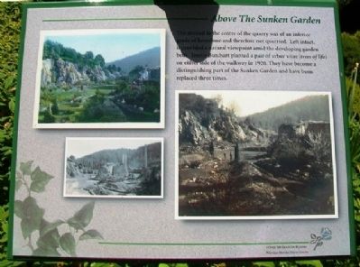
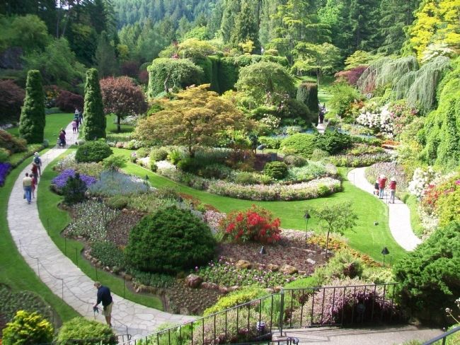
Above The Sunken Garden
Erected by The Butchart Gardens.
Topics. This historical marker is listed in these topic lists: Environment • Horticulture & Forestry • Industry & Commerce. A significant historical year for this entry is 1920.
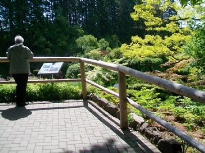
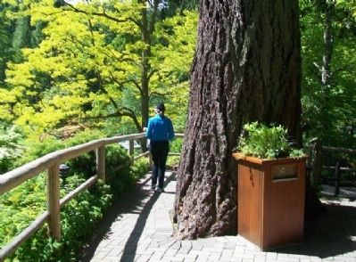
Location. 48° 33.856′ N, 123° 28.152′ W. Marker is near Brentwood Bay, British Columbia, in Capital. Marker can be reached from Benvenuto Avenue. Marker is in The Butchart Gardens, at an overlook north of the Sunken Gardens. Touch for map. Marker is at or near this postal address: 800 Benvenuto Avenue, Brentwood Bay BC V8M 1J8, Canada. Touch for directions.
Other nearby markers. At least 8 other markers are within walking distance of this marker. The Sunken Garden (within shouting distance of this marker); The Butchart Gardens / Les Jardins Butchart (within shouting distance of this marker); The Butchart Boar (about 120 meters away, measured in a direct line); Coast Salish Totem Poles (about 120 meters away); Concert Lawn (about 120 meters away); Organ Pavillion (about 150 meters away); Rose Garden History (about 150 meters away); Sunken Garden Lake Sit-in (about 150 meters away). Touch for a list and map of all markers in Brentwood Bay.
Also see . . .
1. The Butchart Gardens. (Submitted on June 15, 2014, by William Fischer, Jr. of Scranton, Pennsylvania.)
2. Butchart Gardens on Facebook. (Submitted on June 15, 2014, by William Fischer, Jr. of Scranton, Pennsylvania.)
Credits. This page was last revised on January 25, 2020. It was originally submitted on June 15, 2014, by William Fischer, Jr. of Scranton, Pennsylvania. This page has been viewed 530 times since then and 10 times this year. Photos: 1, 2, 3, 4, 5. submitted on June 15, 2014, by William Fischer, Jr. of Scranton, Pennsylvania.
