Marker Logo HMdb.org THE HISTORICAL
MARKER DATABASE
“Bite-Size Bits of Local, National, and Global History”
Morristown in Morris County, New Jersey — The American Northeast (Mid-Atlantic)
 

The Upper Redoubt


The Upper Redoubt Marker image. Click for full size.
Photographed By Bill Coughlin, April 26, 2008
1. The Upper Redoubt Marker
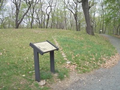
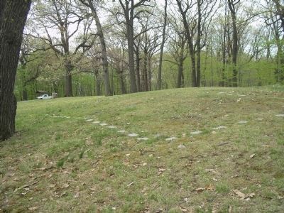
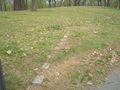
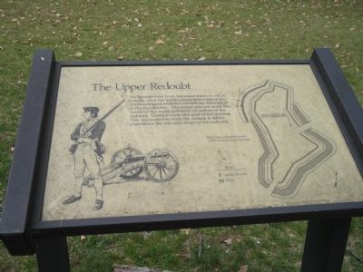
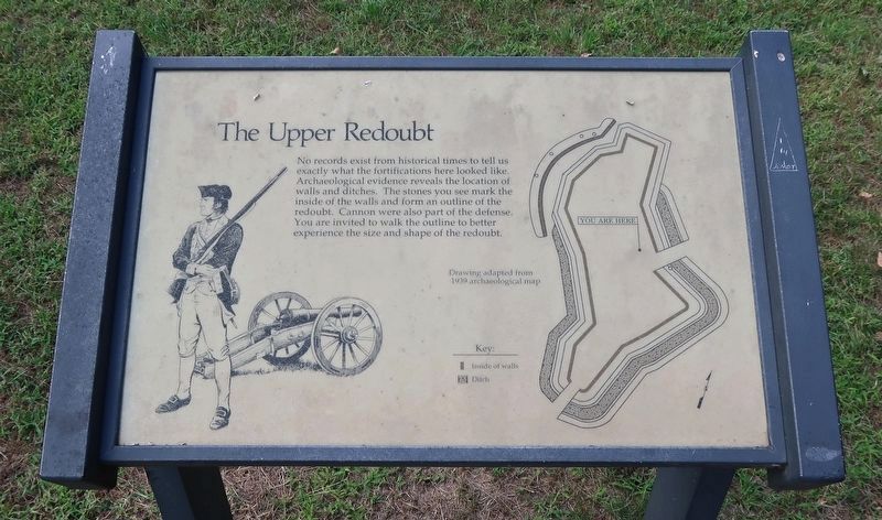
Inscription. No records exist from historical times to tell us exactly what the fortifications here looked like. Archaeological evidence reveals the location of walls and ditches. The stones you see mark the inside of the walls and form an outline of the redoubt. Cannon were also part of the defense. You are invited to walk the outline to better experience the size and shape of the redoubt.
 
Erected by Morristown National Historical Park.
 
Topics. This historical marker is listed in these topic lists: Forts and CastlesWar, US Revolutionary.
 
Location. 40° 47.646′ N, 74° 29.272′ W. Marker is in Morristown, New Jersey, in Morris County. Marker can be reached from Chestnut Street, on the left when traveling west. Marker is in Morristown National Historical Park, in the Fort Nonsense section, off Chestnut Street. Touch for map. Marker is in this post office area: Morristown NJ 07960, United States of America. Touch for directions.
 
Other nearby markers. At least 8 other markers are within walking distance of this marker. Morristown (a few steps from this marker); The Lay of the Land (a few steps from this marker); Fort Nonsense (within shouting distance of this marker); Iron (within shouting distance of this marker); a different marker also named Fort Nonsense
Paid Advertisement
Click on the ad for more information.
Please report objectionable advertising to the Editor.
Click or scan to see
this page online
(within shouting distance of this marker); The Alarm Beacon (about 300 feet away, measured in a direct line); Chain of Signal Beacons (about 300 feet away); Mt. Kemble Home (approx. 0.2 miles away). Touch for a list and map of all markers in Morristown.
 
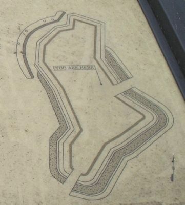
More about this marker. The left side of the marker features a Continental soldier and a cannon. The right side has a sketch of the redoubt with the caption "Drawing adapted from 1939 archaeological map."
 
Also see . . .  Fort Nonsense. Morristown National Historical Park. (Submitted on April 29, 2008, by Bill Coughlin of Woodland Park, New Jersey.) 
 
The Upper Redoubt Marker image. Click for full size.
Courtesy of Thomas P. Martin, October 1, 2021
2. The Upper Redoubt Marker
Marker in Morristown National Historical Park image. Click for full size.
Photographed By Bill Coughlin, April 26, 2008
3. Marker in Morristown National Historical Park
Marker is located on a small walking trail in the Fort Nonsense unit of the Morristown National Historical Park.
Outline of Fort Nonsense image. Click for full size.
Photographed By Bill Coughlin, April 26, 2008
4. Outline of Fort Nonsense
The stones in this photo indicate the original location of the inside walls of the Upper Redoubt.
Outline of Fort Nonsense image. Click for full size.
Photographed By Bill Coughlin, April 26, 2008
5. Outline of Fort Nonsense
More stones showing the original location of the inside walls of the Upper Redoubt.
Upper Redoubt Defenses image. Click for full size.
Photographed By Bill Coughlin, April 26, 2008
6. Upper Redoubt Defenses
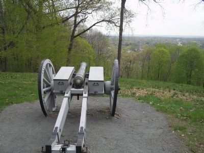
This cannon in the upper redoubt overlooks the town of Morristown.
Map of the Upper Redoubt image. Click for full size.
Photographed By Bill Coughlin, April 26, 2008
7. Map of the Upper Redoubt
Detail of the map of Fort Nonsense from the marker.
 
 
Credits. This page was last revised on April 4, 2022. It was originally submitted on April 29, 2008, by Bill Coughlin of Woodland Park, New Jersey. This page has been viewed 1,098 times since then and 31 times this year. Photos:   1. submitted on April 29, 2008, by Bill Coughlin of Woodland Park, New Jersey.   2. submitted on March 25, 2022, by Duane and Tracy Marsteller of Murfreesboro, Tennessee.   3, 4, 5, 6, 7. submitted on April 29, 2008, by Bill Coughlin of Woodland Park, New Jersey. • Kevin W. was the editor who published this page.
Share this page.  
Share on Tumblr
m=7472

CeraNet Cloud Computing sponsors the Historical Marker Database.
This website earns income from purchases you make after using our links to Amazon.com. We appreciate your support.
Paid Advertisement
Apr. 23, 2024